Transport Functions
Port
Rail
Road
Hub Profile
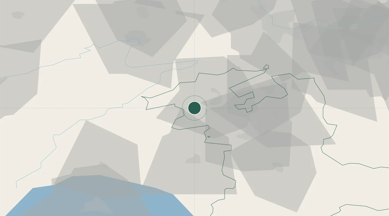
Place type
Populated place
Region
Bern
Population
845
Time zone
Europe/Zurich
Elevation
432 m
Location
Nearby Logistics Neighbours
Cities
- 1Lamboing2 km
- 2Ipsach6 km
- 3Orvin7 km
- 4Le Landeron8 km
- 5Jens9 km
Ports
- 1Savona327 km
- 2Genova330 km
- 3Rada Di Vado331 km
- 4Chiavari - Lavagna354 km
- 5Imperia364 km
Airports
- 1Grenchen Airfield22 km
- 2Les Eplatures Airport27 km
- 3Payerne Air Base34 km
- 4Bern Airport34 km
- 5Montbéliard-Courcelles Airfield51 km
Trade Zones
- 1ZFU Montbéliard53 km
- 2PESA - Port-Franc et Entrepôts de Lausanne-Chavornay SA62 km
- 3ZFU Belfort66 km
- 4ZFU Mulhouse74 km
- 5Port Franc Vevey83 km
DatabookThe Record of Consolidated Knowledge
Switzerland beyond logistics?