Transport Functions
Rail
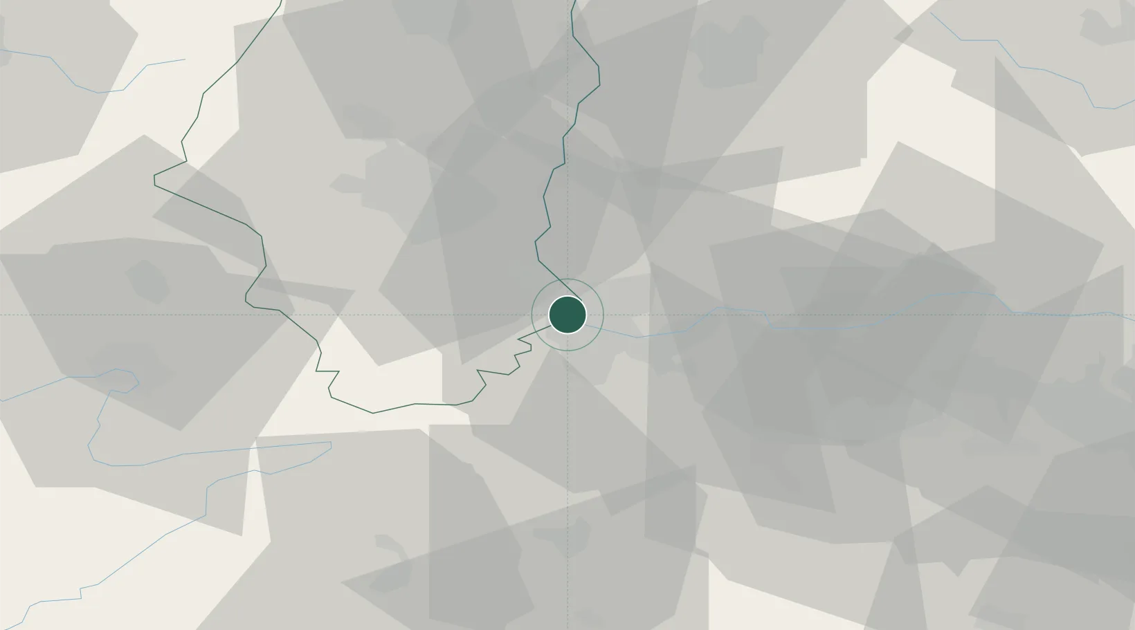
Hub Profile
Place type
Populated place
Region
Grand Est
Population
20,871
Time zone
Europe/Paris
Elevation
248 m
Location
Nearby Logistics Neighbours
Cities
- 1Village-Neuf2 km
- 2Huningue2 km
- 3Weil am Rhein3 km
- 4Basel Schweizerhalle4 km
- 5Hésingue4 km
Ports
- 1Genova369 km
- 2Savona370 km
- 3Rada Di Vado375 km
- 4Chiavari - Lavagna389 km
- 5Imperia413 km
Airports
Trade Zones
- 1ZFU Mulhouse25 km
- 2ZFU Belfort57 km
- 3ZFU Montbéliard59 km
- 4ZFU Neuhof107 km
- 5ZFU Hautepierre113 km
DatabookThe Record of Consolidated Knowledge
France beyond logistics?