Transport Functions
Rail
Road
Hub Profile
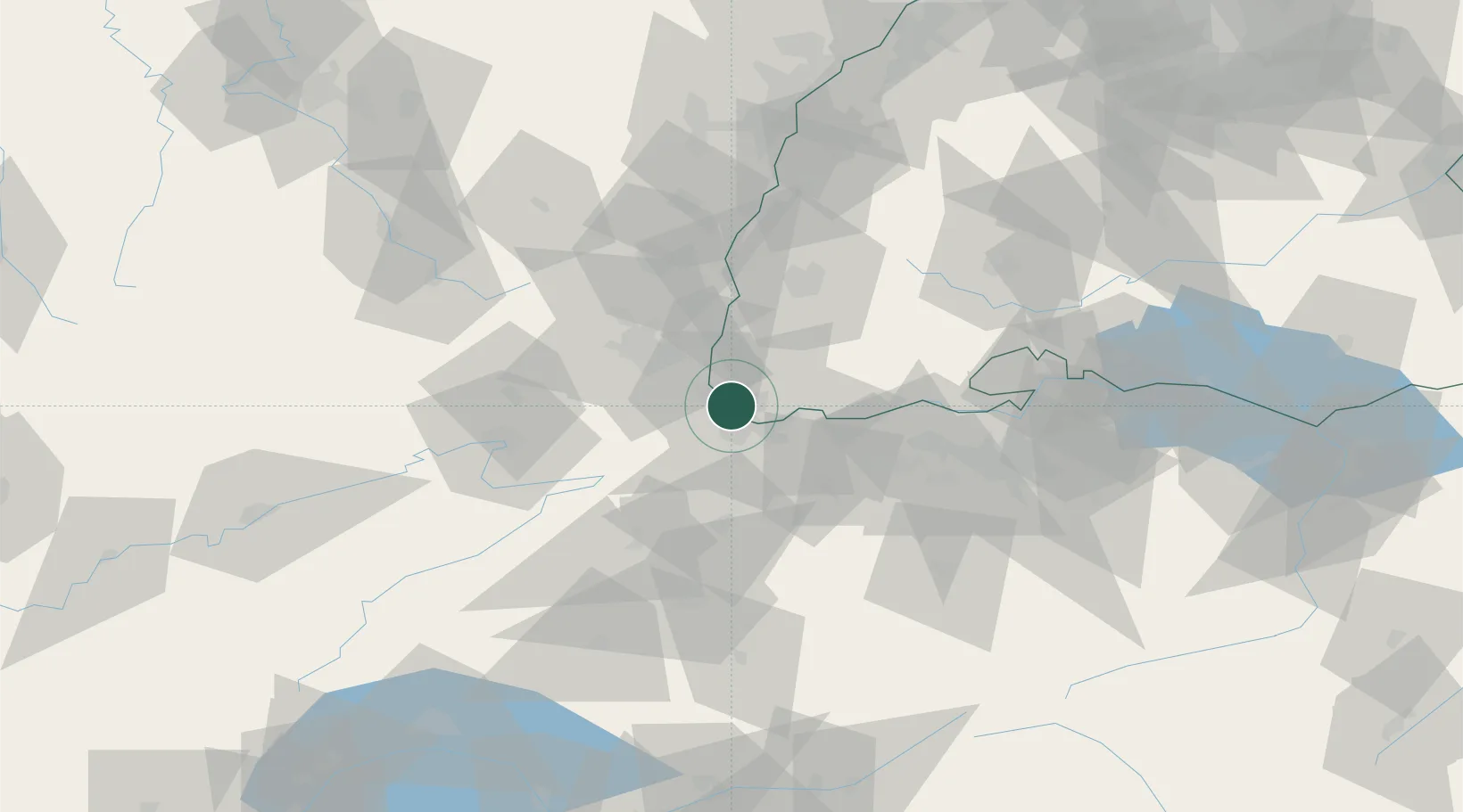
Place type
Populated place
Region
Baden-Wurttemberg
Population
29,548
Time zone
Europe/Berlin
Elevation
277 m
Logistics facilities
2
Location
Nearby Logistics Neighbours
Cities
- 1Huningue1 km
- 2Village-Neuf2 km
- 3Binzen2 km
- 4Saint-Louis3 km
- 5Basel5 km
Ports
- 1Genova371 km
- 2Savona372 km
- 3Rada Di Vado377 km
- 4Chiavari - Lavagna390 km
- 5Imperia415 km
Airports
Trade Zones
- 1ZFU Mulhouse25 km
- 2ZFU Belfort59 km
- 3ZFU Montbéliard62 km
- 4ZFU Neuhof105 km
- 5ZFU Hautepierre111 km
DatabookThe Record of Consolidated Knowledge
Germany beyond logistics?