Transport Functions
Multimodal
Hub Profile
Place type
Populated place
Region
Grand Est
Population
2,894
Time zone
Europe/Paris
Elevation
291 m
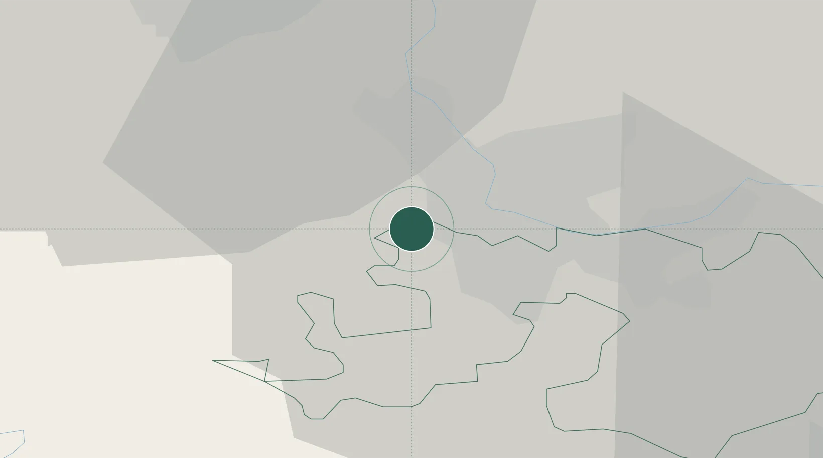
Location
Nearby Logistics Neighbours
Cities
- 1Wentzwiller3 km
- 2Hésingue4 km
- 3Basel Schweizerhalle4 km
- 4Binningen4 km
- 5Oberwil5 km
Ports
- 1Genova367 km
- 2Savona368 km
- 3Rada Di Vado372 km
- 4Chiavari - Lavagna387 km
- 5Imperia410 km
Airports
Trade Zones
- 1ZFU Mulhouse26 km
- 2ZFU Belfort54 km
- 3ZFU Montbéliard55 km
- 4ZFU Neuhof112 km
- 5ZFU Hautepierre117 km
DatabookThe Record of Consolidated Knowledge
France beyond logistics?