Transport Functions
Road
Multimodal
Hub Profile
Place type
Populated place
Region
Aargau
Population
1,683
Time zone
Europe/Zurich
Elevation
405 m
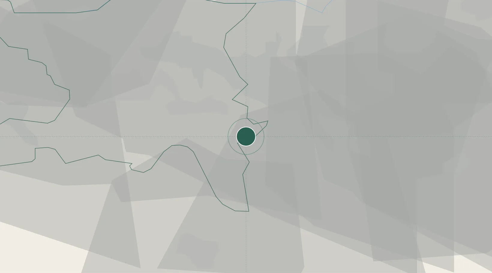
Location
Nearby Logistics Neighbours
Cities
- 1Birmensdorf6 km
- 2Merenschwand6 km
- 3Muri6 km
- 4Aeugst am Albis7 km
- 5Boswil8 km
Ports
- 1Genova325 km
- 2Savona332 km
- 3Rada Di Vado338 km
- 4Chiavari - Lavagna341 km
- 5La Spezia373 km
Airports
- 1Zürich Airport21 km
- 2Dübendorf Air Base22 km
- 3Emmen Air Base24 km
- 4Alpnach Air Base41 km
- 5EuroAirport Basel–Mulhouse–Freiburg74 km
Trade Zones
- 1ZFU Mulhouse94 km
- 2ZFU Montbéliard124 km
- 3ZFU Belfort126 km
- 4ZFU Neuhof146 km
- 5ZFU Hautepierre153 km
DatabookThe Record of Consolidated Knowledge
Switzerland beyond logistics?