Transport Functions
Rail
Road
Hub Profile
Place type
Populated place
Region
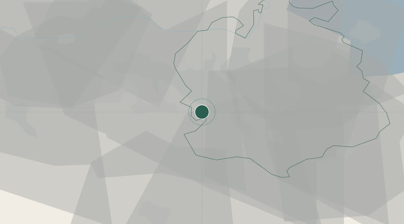
Zurich
Population
4,772
Time zone
Europe/Zurich
Elevation
472 m
Location
Nearby Logistics Neighbours
Cities
- 1Jonen6 km
- 2Adliswil7 km
- 3Bremgarten8 km
- 4Aeugst am Albis10 km
- 5Waltenschwil10 km
Ports
- 1Genova330 km
- 2Savona337 km
- 3Rada Di Vado343 km
- 4Chiavari - Lavagna346 km
- 5Porto Di Lido-Venezia375 km
Airports
- 1Zürich Airport15 km
- 2Dübendorf Air Base17 km
- 3Emmen Air Base30 km
- 4Alpnach Air Base47 km
- 5Donaueschingen-Villingen Airfield70 km
Trade Zones
- 1ZFU Mulhouse94 km
- 2ZFU Montbéliard125 km
- 3ZFU Belfort127 km
- 4ZFU Neuhof142 km
- 5ZFU Hautepierre149 km
DatabookThe Record of Consolidated Knowledge
Switzerland beyond logistics?