Transport Functions
Rail
Road
Hub Profile
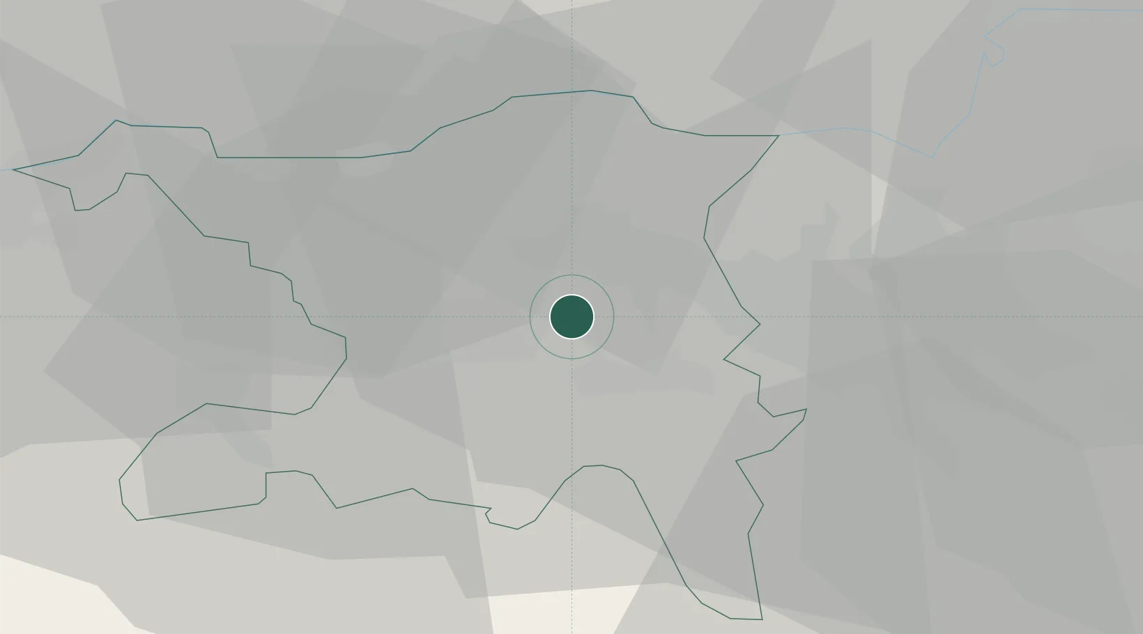
Region
AG
Location
Nearby Logistics Neighbours
Ports
- 1Genova340 km
- 2Savona345 km
- 3Rada Di Vado351 km
- 4Chiavari - Lavagna356 km
- 5La Spezia389 km
Airports
- 1Zürich Airport24 km
- 2Dübendorf Air Base31 km
- 3Emmen Air Base37 km
- 4Alpnach Air Base53 km
- 5EuroAirport Basel–Mulhouse–Freiburg57 km
Trade Zones
- 1ZFU Mulhouse77 km
- 2ZFU Montbéliard109 km
- 3ZFU Belfort110 km
- 4ZFU Neuhof130 km
- 5ZFU Hautepierre137 km
DatabookThe Record of Consolidated Knowledge
Switzerland beyond logistics?