Transport Functions
Port
Road
Hub Profile
Place type
District seat
Region
Zurich
Time zone
Europe/Zurich
Elevation
688 m
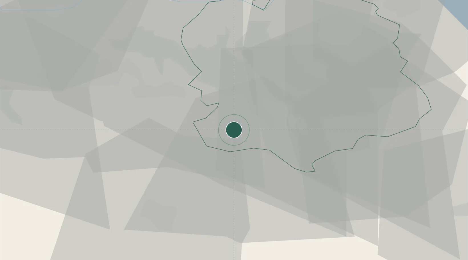
Location
Nearby Logistics Neighbours
Cities
- 1Knonau5 km
- 2Adliswil6 km
- 3Rüschlikon6 km
- 4Jonen7 km
- 5Steinhausen8 km
Ports
- 1Genova321 km
- 2Savona328 km
- 3Rada Di Vado334 km
- 4Chiavari - Lavagna336 km
- 5Porto Di Lido-Venezia366 km
Airports
- 1Dübendorf Air Base19 km
- 2Zürich Airport22 km
- 3Emmen Air Base24 km
- 4Alpnach Air Base39 km
- 5Donaueschingen-Villingen Airfield79 km
Trade Zones
- 1ZFU Mulhouse102 km
- 2ZFU Montbéliard131 km
- 3ZFU Belfort133 km
- 4Livigno Free Trade Zone147 km
- 5ZFU Neuhof152 km
DatabookThe Record of Consolidated Knowledge
Switzerland beyond logistics?