Transport Functions
Rail
Road
Hub Profile
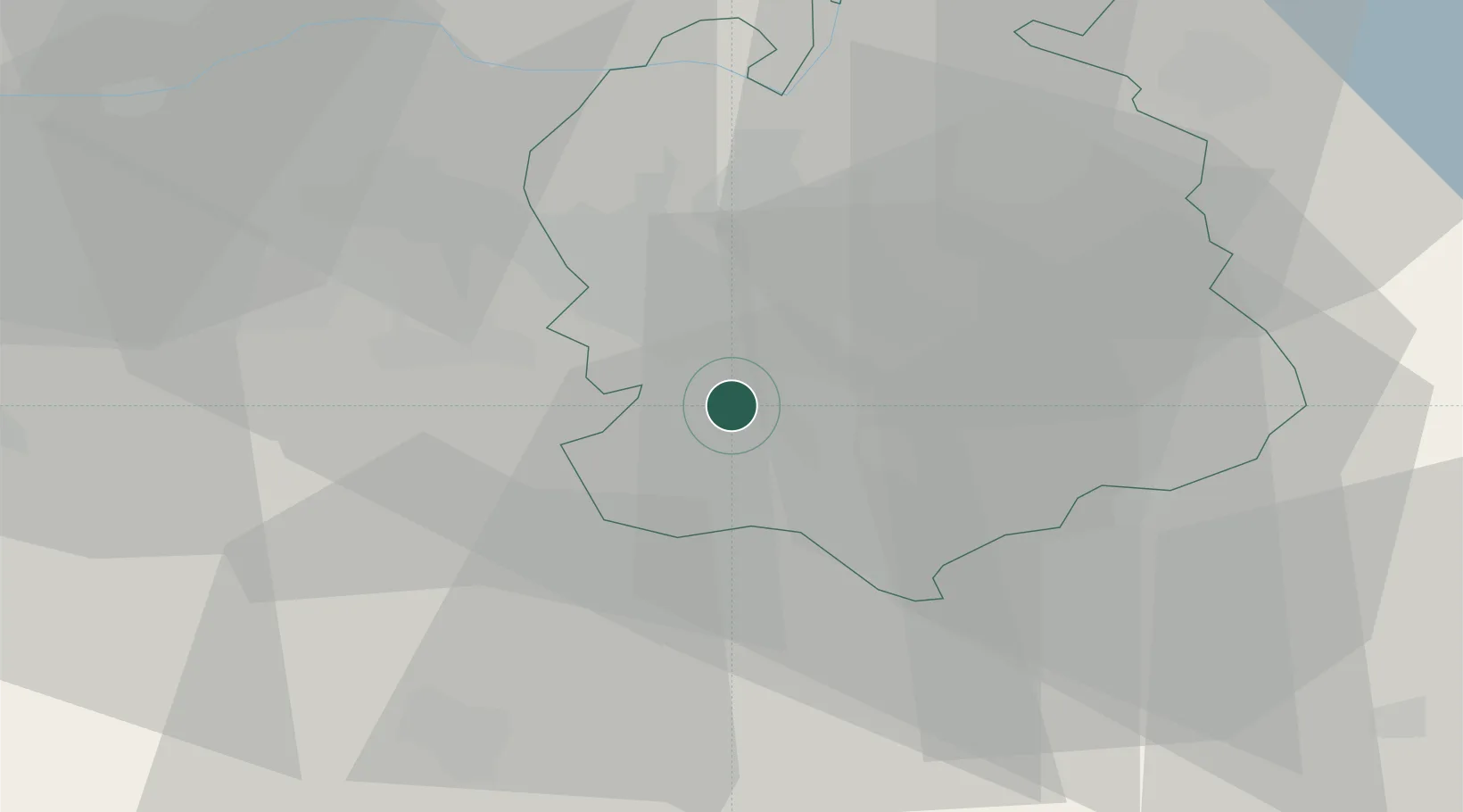
Place type
Populated place
Region
Zurich
Population
15,230
Time zone
Europe/Zurich
Elevation
450 m
Location
Nearby Logistics Neighbours
Cities
- 1Rüschlikon3 km
- 2Küsnacht5 km
- 3Aeugst am Albis6 km
- 4Erlenbach7 km
- 5Birmensdorf7 km
Ports
- 1Genova326 km
- 2Savona334 km
- 3Rada Di Vado339 km
- 4Chiavari - Lavagna341 km
- 5Porto Di Lido-Venezia367 km
Airports
- 1Dübendorf Air Base14 km
- 2Zürich Airport16 km
- 3Emmen Air Base30 km
- 4Alpnach Air Base45 km
- 5Donaueschingen-Villingen Airfield73 km
Trade Zones
- 1ZFU Mulhouse101 km
- 2ZFU Montbéliard132 km
- 3ZFU Belfort134 km
- 4ZFU Neuhof147 km
- 5Livigno Free Trade Zone149 km
DatabookThe Record of Consolidated Knowledge
Switzerland beyond logistics?