Medium airport · Gabon

Mouilla Ville AirportFOGM
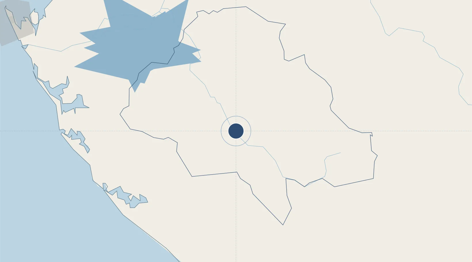
-1.8451°, 11.0567°
5,891 ft
Longest runway
1
Runways
295 ft
Elevation

Runway & Layout

Mouilla Ville Airport runway & taxiway layout
Runway & taxiway layout — OpenStreetMap (ODbL) / OurAirports

Radio Frequencies

AFIS
122.5 MHz
OurAirports

Navaids

ML NDB Mouilla 263 kHz
OurAirports

Runways · 1

RunwayDimensions SurfaceTrue headingLit
17/35 5,891 × 100ft Asphalt 168°
OurAirports

Airport Specifications

IATA code
MJL
OurAirports
ICAO code
FOGM
OurAirports
Airport class
Medium airport
OurAirports
Scheduled service
No
OurAirports
Runway surface
Asphalt
OurAirports
Served city
Mouila
OurAirports

Location

Location of FOGM
Natural Earth 10m (public domain) · Ngounié · FOGM · -1.85, 11.06GoogleOSMYandex

Nearby Logistics Neighbours

Airports
  1. 1Gamba Airport153 km
  2. 2Lambarene Airport156 km
  3. 3Koulamoutou Mabimbi Airport171 km
  4. 4Omboue Hospital Airport202 km
  5. 5M'Vengue El Hadj Omar Bongo Ondimba International Airport266 km
Nearest neighbours — logibook spatial index (haversine) over the source coordinates
Cities
  1. 1Mbinda203 km
  2. 2Yombo219 km
  3. 3Oguandjo Terminal243 km
  4. 4Equata266 km
  5. 5Port Gentil283 km
Nearest neighbours — logibook spatial index (haversine) over the source coordinates
Ports
  1. 1Gamba Oil Terminal161 km
  2. 2Etame Terminal220 km
  3. 3M'bya Oil Terminal227 km
  4. 4Oguendjo Terminal242 km
  5. 5Port Gentil281 km
Nearest neighbours — logibook spatial index (haversine) over the source coordinates
Trade Zones
  1. 1Port-Gentil (Mandji) Special Economic Zone285 km
  2. 2Boumango Special Economic Zone288 km
  3. 3Owendo Mineral Port293 km
  4. 4Nkok Special Economic Zone295 km
  5. 5Gabon New International Airport Free Zone316 km
Nearest neighbours — logibook spatial index (haversine) over the source coordinates
DatabookThe Record of Consolidated Knowledge
Gabon beyond logistics?
Browse databook

All Sources

AirportsOurAirports
Public domain
Portsthe NGA World Port Index
Public domain (US gov)
LocationsUN/LOCODE
UN/LOCODE — free
Trade Zonesthe World Bank SEZ database
CC BY 4.0
Trade ZonesOpen Zone Map
CC BY
InfrastructureOpenStreetMap
ODbL 1.0
← Gabon airports