Transport Functions
Rail
Road
Airport
Hub Profile
Place type
Provincial seat
Region
Alberta
Population
31,582
Time zone
America/Edmonton
Elevation
657 m
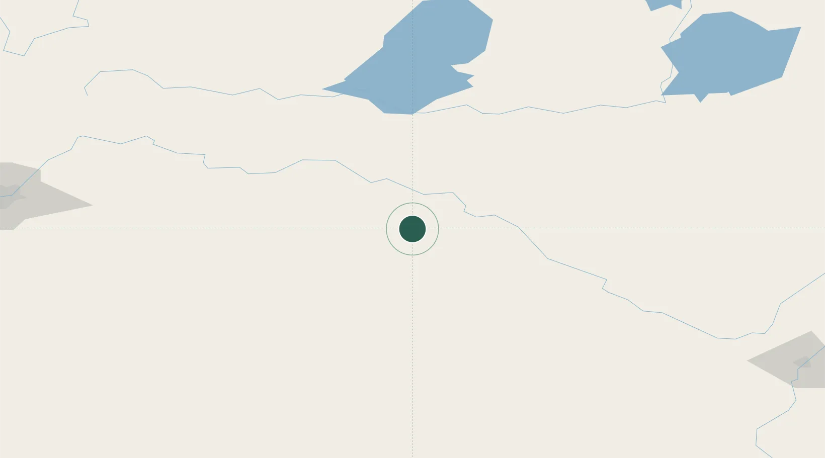
Location
Nearby Logistics Neighbours
Cities
- 1Wainwright75 km
- 2Provost104 km
- 3Innisfree104 km
- 4Macklin104 km
- 5Metiskow106 km
Ports
- 1Mission City968 km
- 2Port Coquitlam994 km
- 3Port Moody999 km
- 4Fraser Mills1001 km
- 5New Westminster1006 km
Airports
- 1Lloydminster Airport8 km
- 2Bonnyville Airport126 km
- 3CFB Cold Lake128 km
- 4North Battleford Airport129 km
- 5Meadow Lake Airport136 km
Trade Zones
- 1Port Alberta - Edmonton FTZ225 km
- 2Calgary Region Inland Port372 km
- 3Global Transportation Hub Authority477 km
- 4FTZ No. 187 Toole County543 km
- 5FTZ No. 088 Great Falls649 km
DatabookThe Record of Consolidated Knowledge
Canada beyond logistics?