Transport Functions
Rail
Road
Hub Profile
Place type
Populated place
Region
Alberta
Time zone
America/Edmonton
Elevation
663 m
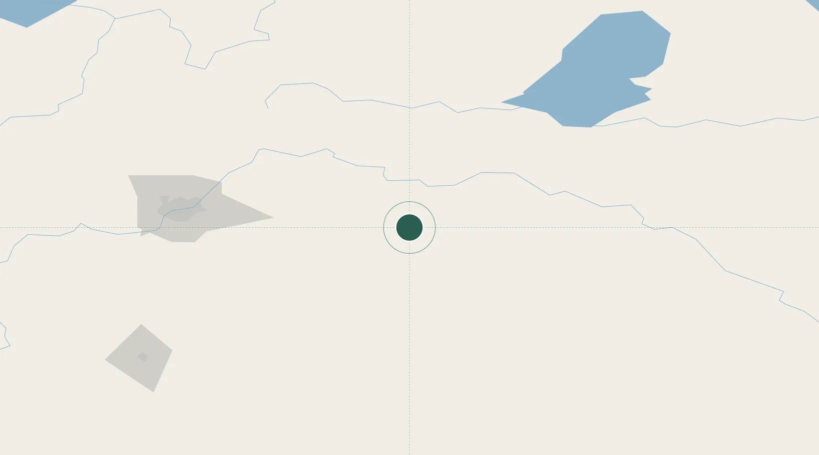
Location
Nearby Logistics Neighbours
Cities
- 1Vegreville35 km
- 2Viking37 km
- 3Two Hills40 km
- 4Sedgewick69 km
- 5Kingman71 km
Ports
- 1Mission City881 km
- 2Port Coquitlam906 km
- 3Port Moody909 km
- 4Fraser Mills911 km
- 5New Westminster917 km
Airports
- 1Lloydminster Airport97 km
- 2Bonnyville Airport115 km
- 3Edmonton International Airport136 km
- 4CFB Cold Lake140 km
- 5Red Deer Regional Airport208 km
Trade Zones
- 1Port Alberta - Edmonton FTZ122 km
- 2Calgary Region Inland Port312 km
- 3FTZ No. 187 Toole County534 km
- 4Global Transportation Hub Authority568 km
- 5FTZ No. 242 Boundary County634 km
DatabookThe Record of Consolidated Knowledge
Canada beyond logistics?