UN/LOCODE hub · Canada
CAWSR

Windsor

45.5667°, -72.0000°
5,408
Population
2
Transport functions

Transport Functions

Rail
Road
UN/LOCODE

Hub Profile

Place type
Populated place
GeoNames
Region
Quebec
GeoNames
Population
5,408
GeoNames
Time zone
America/Toronto
GeoNames
Elevation
173 m
GeoNames

Location

Location of CAWSR
Natural Earth 10m (public domain) · Quebec · CAWSR · 45.57, -72.00GoogleOSMYandex

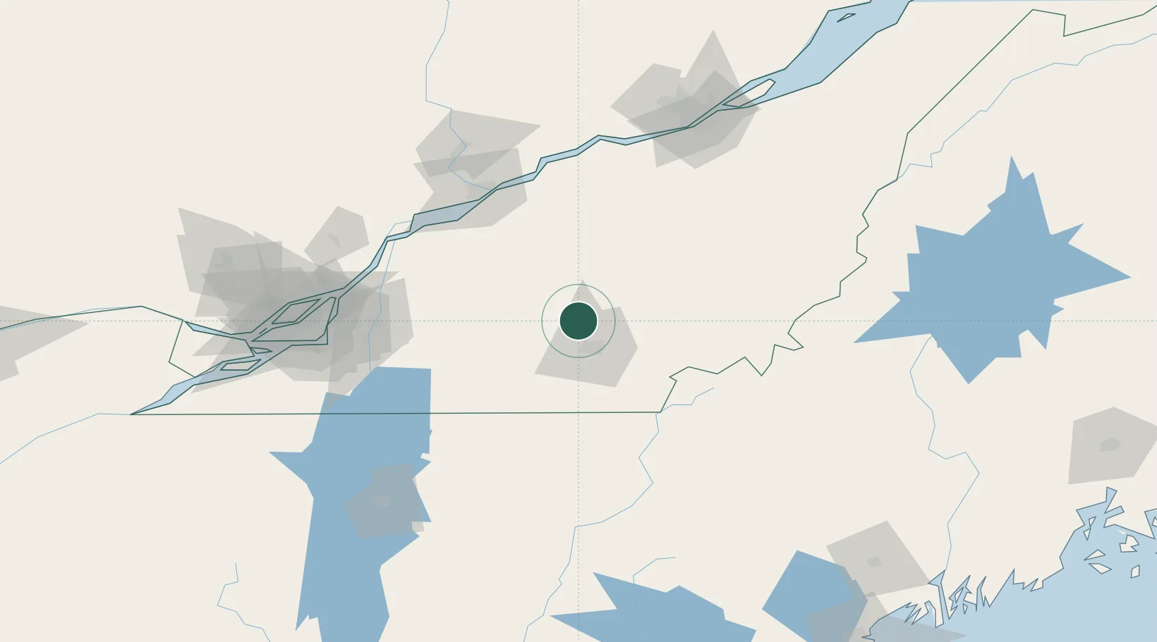
Nearby Logistics Neighbours

Cities
  1. 1Richmond14 km
  2. 2Valcourt26 km
  3. 3East Angus28 km
  4. 4Saint-Félix-de-Kingsey30 km
  5. 5Lawrenceville32 km
Nearest neighbours — logibook spatial index (haversine) over the source coordinates
Ports
  1. 1Trois Rivieres97 km
  2. 2Port De Becancour97 km
  3. 3Contrecour100 km
  4. 4Sorel102 km
  5. 5Montreal121 km
Nearest neighbours — logibook spatial index (haversine) over the source coordinates
Airports
  1. 1Sherbrooke Airport28 km
  2. 2Bromont (Roland Désourdy) Airport66 km
  3. 3Trois-Rivières Airport102 km
  4. 4St Jean Airport105 km
  5. 5Montréal / Saint-Hubert Metropolitan Airport111 km
Nearest neighbours — logibook spatial index (haversine) over the source coordinates
Trade Zones
  1. 1Greater Montreal Free Zone Center122 km
  2. 2Québec City FTZ152 km
  3. 3FTZ No. 186 Waterville214 km
  4. 4FTZ No. 263 Auburn216 km
  5. 5FTZ No. 058 Bangor263 km
Nearest neighbours — logibook spatial index (haversine) over the source coordinates
DatabookThe Record of Consolidated Knowledge
Canada beyond logistics?
Browse databook

All Sources

LocationsUN/LOCODE
UN/LOCODE — free
LocationsGeoNames
CC BY 4.0
Portsthe NGA World Port Index
Public domain (US gov)
AirportsOurAirports
Public domain
Trade Zonesthe World Bank SEZ database
CC BY 4.0
Trade ZonesOpen Zone Map
CC BY
← Canada locations