UN/LOCODE hub · Canada
CARCH

Richmond

45.6500°, -72.1333°
3,232
Population
2
Transport functions

Transport Functions

Rail
Road
UN/LOCODE

Hub Profile

Place type
Populated place
GeoNames
Region
Quebec
GeoNames
Population
3,232
GeoNames
Time zone
America/Toronto
GeoNames
Elevation
126 m
GeoNames

Location

Location of CARCH
Natural Earth 10m (public domain) · Quebec · CARCH · 45.65, -72.13GoogleOSMYandex

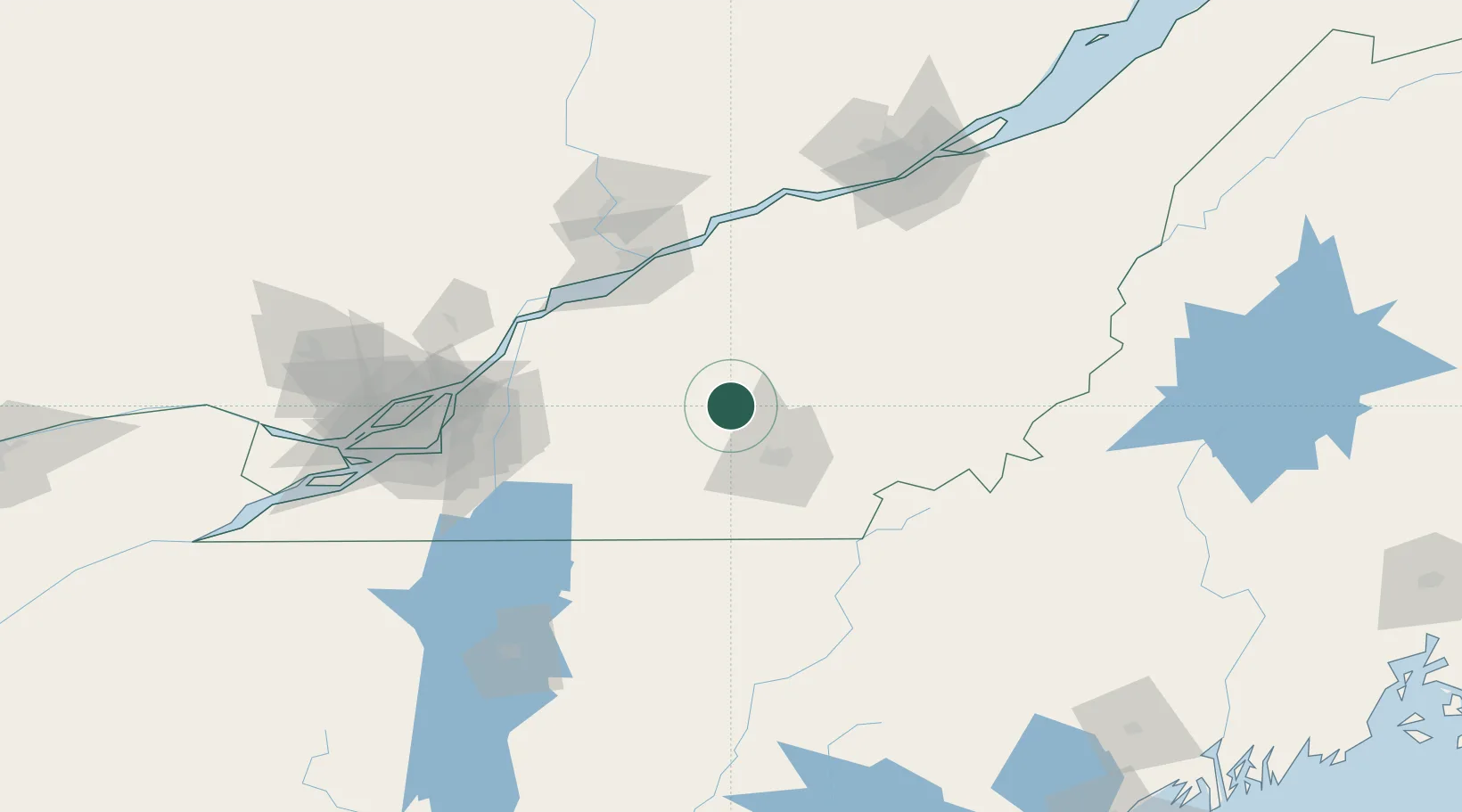
Nearby Logistics Neighbours

Cities
  1. 1Windsor14 km
  2. 2Saint-Félix-de-Kingsey17 km
  3. 3Valcourt23 km
  4. 4Roxton Falls29 km
  5. 5Lawrenceville31 km
Nearest neighbours — logibook spatial index (haversine) over the source coordinates
Ports
  1. 1Trois Rivieres84 km
  2. 2Port De Becancour86 km
  3. 3Contrecour87 km
  4. 4Sorel88 km
  5. 5Montreal111 km
Nearest neighbours — logibook spatial index (haversine) over the source coordinates
Airports
  1. 1Sherbrooke Airport42 km
  2. 2Bromont (Roland Désourdy) Airport62 km
  3. 3Trois-Rivières Airport89 km
  4. 4St Jean Airport98 km
  5. 5Montréal / Saint-Hubert Metropolitan Airport101 km
Nearest neighbours — logibook spatial index (haversine) over the source coordinates
Trade Zones
  1. 1Greater Montreal Free Zone Center112 km
  2. 2Québec City FTZ148 km
  3. 3FTZ No. 186 Waterville227 km
  4. 4FTZ No. 263 Auburn230 km
  5. 5FTZ No. 058 Bangor276 km
Nearest neighbours — logibook spatial index (haversine) over the source coordinates
DatabookThe Record of Consolidated Knowledge
Canada beyond logistics?
Browse databook

All Sources

LocationsUN/LOCODE
UN/LOCODE — free
LocationsGeoNames
CC BY 4.0
Portsthe NGA World Port Index
Public domain (US gov)
AirportsOurAirports
Public domain
Trade Zonesthe World Bank SEZ database
CC BY 4.0
Trade ZonesOpen Zone Map
CC BY
← Canada locations