Transport Functions
Rail
Road
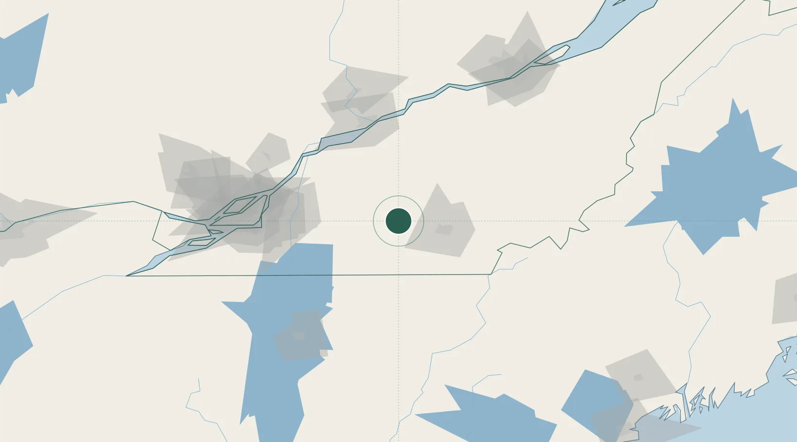
Hub Profile
Place type
Populated place
Region
Quebec
Population
2,451
Time zone
America/Toronto
Elevation
200 m
Location
Nearby Logistics Neighbours
Cities
- 1Lawrenceville8 km
- 2Roxton Falls21 km
- 3Waterloo22 km
- 4Acton Vale22 km
- 5Sainte-Anne-de-la-Rochelle22 km
Ports
- 1Contrecour82 km
- 2Sorel88 km
- 3Montreal96 km
- 4Trois Rivieres98 km
- 5Port De Becancour102 km
Airports
Trade Zones
- 1Greater Montreal Free Zone Center97 km
- 2Québec City FTZ171 km
- 3FTZ No. 263 Auburn227 km
- 4FTZ No. 186 Waterville231 km
- 5FTZ No. 118 Ogdensburg265 km
DatabookThe Record of Consolidated Knowledge
Canada beyond logistics?