UN/LOCODE hub · Canada
CALII

Lawrenceville

45.4167°, -72.3500°
1
Transport functions

Transport Functions

Multimodal
UN/LOCODE

Hub Profile

Place type
Populated place
GeoNames
Region
Quebec
GeoNames
Time zone
America/Toronto
GeoNames
Elevation
243 m
GeoNames

Location

Location of CALII
Natural Earth 10m (public domain) · Quebec · CALII · 45.42, -72.35GoogleOSMYandex

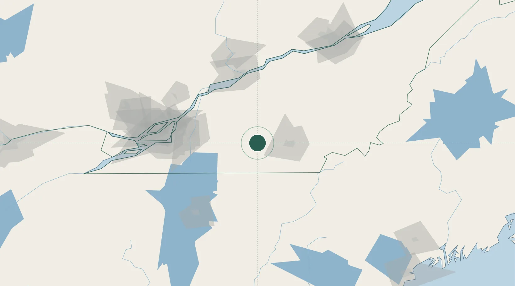
Nearby Logistics Neighbours

Cities
  1. 1Valcourt8 km
  2. 2Sainte-Anne-de-la-Rochelle15 km
  3. 3Waterloo15 km
  4. 4Magog23 km
  5. 5Roxton Falls25 km
Nearest neighbours — logibook spatial index (haversine) over the source coordinates
Ports
  1. 1Contrecour84 km
  2. 2Sorel92 km
  3. 3Montreal94 km
  4. 4Trois Rivieres105 km
  5. 5Port De Becancour109 km
Nearest neighbours — logibook spatial index (haversine) over the source coordinates
Airports
  1. 1Bromont (Roland Désourdy) Airport34 km
  2. 2Sherbrooke Airport52 km
  3. 3St Jean Airport74 km
  4. 4Montréal / Saint-Hubert Metropolitan Airport84 km
  5. 5Trois-Rivières Airport107 km
Nearest neighbours — logibook spatial index (haversine) over the source coordinates
Trade Zones
  1. 1Greater Montreal Free Zone Center95 km
  2. 2Québec City FTZ178 km
  3. 3FTZ No. 263 Auburn224 km
  4. 4FTZ No. 186 Waterville230 km
  5. 5FTZ No. 118 Ogdensburg260 km
Nearest neighbours — logibook spatial index (haversine) over the source coordinates
DatabookThe Record of Consolidated Knowledge
Canada beyond logistics?
Browse databook

All Sources

LocationsUN/LOCODE
UN/LOCODE — free
Portsthe NGA World Port Index
Public domain (US gov)
AirportsOurAirports
Public domain
Trade Zonesthe World Bank SEZ database
CC BY 4.0
Trade ZonesOpen Zone Map
CC BY
← Canada locations