UN/LOCODE hub · Canada
CAETA

East Angus

45.4833°, -71.6667°
3,634
Population
4
Transport functions

Transport Functions

Port
Rail
Road
Airport
UN/LOCODE

Hub Profile

Place type
Populated place
GeoNames
Region
Quebec
GeoNames
Population
3,634
GeoNames
Time zone
America/Toronto
GeoNames
Elevation
191 m
GeoNames

Location

Location of CAETA
Natural Earth 10m (public domain) · Quebec · CAETA · 45.48, -71.67GoogleOSMYandex

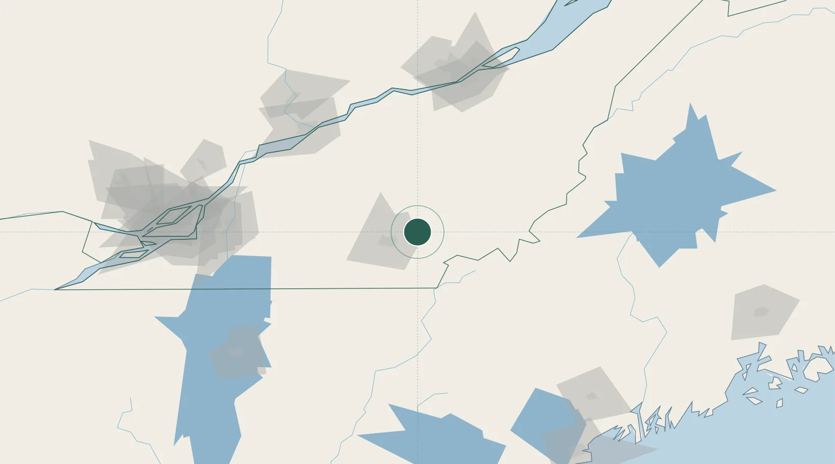
Nearby Logistics Neighbours

Cities
  1. 1Cookshire10 km
  2. 2Saint-Isidore d'Auckland27 km
  3. 3Windsor28 km
  4. 4Waterville28 km
  5. 5Saint-Malo34 km
Nearest neighbours — logibook spatial index (haversine) over the source coordinates
Ports
  1. 1Port De Becancour116 km
  2. 2Trois Rivieres118 km
  3. 3Contrecour127 km
  4. 4Sorel129 km
  5. 5Montreal147 km
Nearest neighbours — logibook spatial index (haversine) over the source coordinates
Airports
  1. 1Sherbrooke Airport5 km
  2. 2Bromont (Roland Désourdy) Airport87 km
  3. 3Saint-Georges Airport101 km
  4. 4Trois-Rivières Airport124 km
  5. 5St Jean Airport128 km
Nearest neighbours — logibook spatial index (haversine) over the source coordinates
Trade Zones
  1. 1Greater Montreal Free Zone Center148 km
  2. 2Québec City FTZ153 km
  3. 3FTZ No. 186 Waterville187 km
  4. 4FTZ No. 263 Auburn193 km
  5. 5FTZ No. 058 Bangor236 km
Nearest neighbours — logibook spatial index (haversine) over the source coordinates
DatabookThe Record of Consolidated Knowledge
Canada beyond logistics?
Browse databook

All Sources

LocationsUN/LOCODE
UN/LOCODE — free
LocationsGeoNames
CC BY 4.0
Portsthe NGA World Port Index
Public domain (US gov)
AirportsOurAirports
Public domain
Trade Zonesthe World Bank SEZ database
CC BY 4.0
Trade ZonesOpen Zone Map
CC BY
← Canada locations