Transport Functions
Port
Road
Hub Profile
Place type
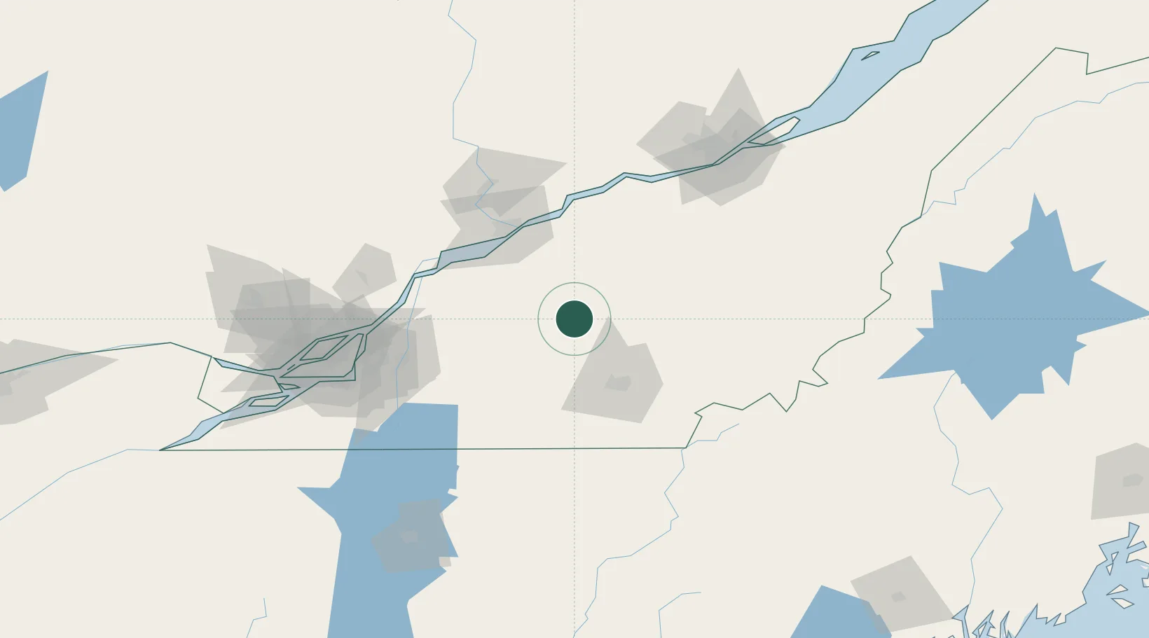
Populated place
Region
Quebec
Time zone
America/Toronto
Elevation
177 m
Location
Nearby Logistics Neighbours
Cities
- 1Richmond17 km
- 2Notre-Dame-du-Bon-Conseil26 km
- 3Windsor30 km
- 4Saint-Germain-de-Grantham30 km
- 5Roxton Falls32 km
Ports
- 1Trois Rivieres67 km
- 2Port De Becancour69 km
- 3Sorel77 km
- 4Contrecour79 km
- 5Montreal111 km
Airports
Trade Zones
- 1Greater Montreal Free Zone Center112 km
- 2Québec City FTZ135 km
- 3FTZ No. 186 Waterville240 km
- 4FTZ No. 263 Auburn245 km
- 5FTZ No. 058 Bangor285 km
DatabookThe Record of Consolidated Knowledge
Canada beyond logistics?