UN/LOCODE hub · Canada
CAWDI

Wardsville

42.6667°, -81.7500°
2
Transport functions

Transport Functions

Road
Multimodal
UN/LOCODE

Hub Profile

Region
ON
GeoNames

Location

Location of CAWDI
Natural Earth 10m (public domain) · ON · CAWDI · 42.67, -81.75GoogleOSMYandex

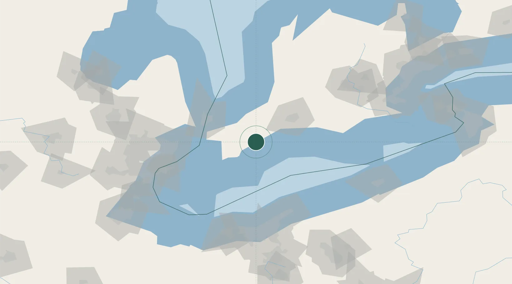
Nearby Logistics Neighbours

Cities
  1. 1Thamesville22 km
  2. 2Inwood25 km
  3. 3Chatham39 km
  4. 4Tupperville43 km
  5. 5Wyoming43 km
Nearest neighbours — logibook spatial index (haversine) over the source coordinates
Ports
  1. 1Port Stanley45 km
  2. 2Rondeau46 km
  3. 3Sombra60 km
  4. 4Courtright61 km
  5. 5St Clair62 km
Nearest neighbours — logibook spatial index (haversine) over the source coordinates
Airports
  1. 1St Thomas Municipal Airport54 km
  2. 2Chris Hadfield Airport59 km
  3. 3London International Airport64 km
  4. 4Centralia / James T. Field Memorial Aerodrome72 km
  5. 5Selfridge Air National Guard Base Airport89 km
Nearest neighbours — logibook spatial index (haversine) over the source coordinates
Trade Zones
  1. 1FTZ No. 210 St. Clair County66 km
  2. 2Windsor - Essex Foreign Trade Zone112 km
  3. 3FTZ No. 070 Detroit127 km
  4. 4FTZ No. 040 Cleveland130 km
  5. 5FTZ No. 247 Erie148 km
Nearest neighbours — logibook spatial index (haversine) over the source coordinates
DatabookThe Record of Consolidated Knowledge
Canada beyond logistics?
Browse databook

All Sources

LocationsUN/LOCODE
UN/LOCODE — free
Portsthe NGA World Port Index
Public domain (US gov)
AirportsOurAirports
Public domain
Trade Zonesthe World Bank SEZ database
CC BY 4.0
Trade ZonesOpen Zone Map
CC BY
← Canada locations