Medium airport · Canada

London International AirportCYXU
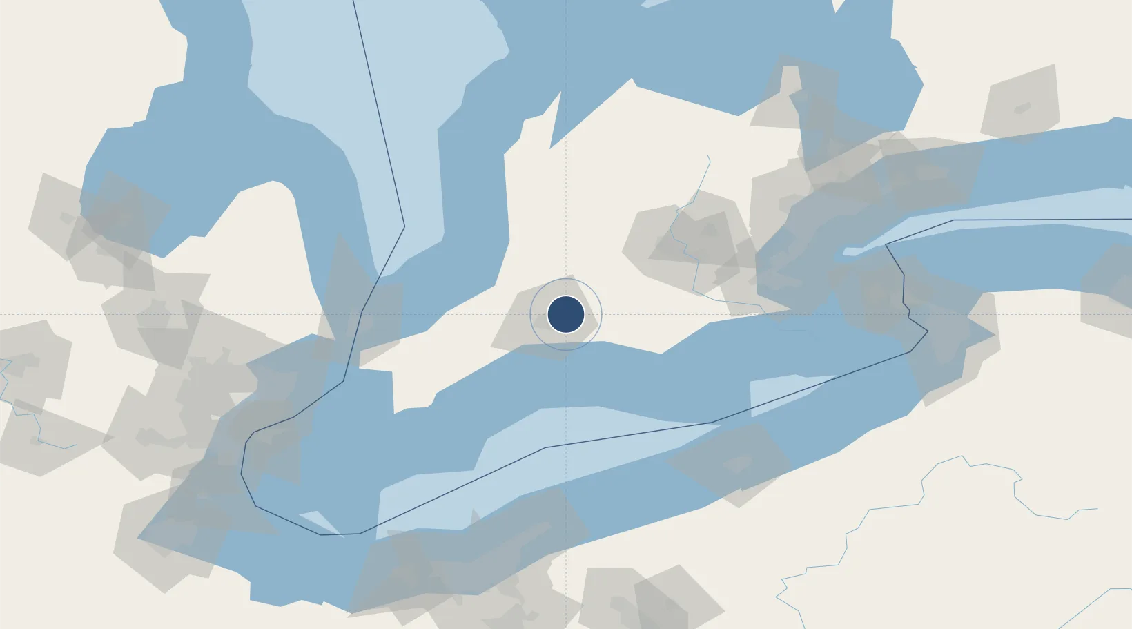
43.0328°, -81.1490°
8,800 ft
Longest runway
2
Runways
912 ft
Elevation

Runway & Layout

London International Airport runway & taxiway layout
Runway & taxiway layout — OpenStreetMap (ODbL) / OurAirports

Radio Frequencies

ATIS
127.8 MHz
TWR
119.4 MHz
GND
121.9 MHz
A/G
119.4 MHz
MF
CNTR
135.3 MHz
TORONTO CNTR
RDO
122.5 MHz
OurAirports

Navaids

YXU VORTAC London 117.20 MHz
OurAirports

Runways · 2

RunwayDimensions SurfaceTrue headingLit
15/33 8,800 × 200ft Asphalt 139°
09/27 6,300 × 200ft Asphalt 078°
OurAirports

Airport Specifications

IATA code
YXU
OurAirports
ICAO code
CYXU
OurAirports
Airport class
Medium airport
OurAirports
Scheduled service
Yes
OurAirports
Runway surface
Asphalt
OurAirports
Served city
London
OurAirports

Location

Location of CYXU
Natural Earth 10m (public domain) · Ontario · CYXU · 43.03, -81.15GoogleOSMYandex

Nearby Logistics Neighbours

Airports
  1. 1St Thomas Municipal Airport29 km
  2. 2Centralia / James T. Field Memorial Aerodrome41 km
  3. 3Brantford Municipal Airport66 km
  4. 4Region of Waterloo International Airport79 km
  5. 5Goderich Airport93 km
Nearest neighbours — logibook spatial index (haversine) over the source coordinates
Cities
  1. 1Dorchester9 km
  2. 2Thamesford14 km
  3. 3Kintore15 km
  4. 4Lakeside22 km
  5. 5Lobo22 km
Nearest neighbours — logibook spatial index (haversine) over the source coordinates
Ports
  1. 1Port Stanley41 km
  2. 2Port Dover82 km
  3. 3Goderich93 km
  4. 4Point Edward103 km
  5. 5Sarnia103 km
Nearest neighbours — logibook spatial index (haversine) over the source coordinates
Trade Zones
  1. 1FTZ No. 210 St. Clair County115 km
  2. 2FTZ No. 247 Erie133 km
  3. 3FTZ No. 034 Niagara County169 km
  4. 4Niagara Foreign Trade Zone171 km
  5. 5Windsor - Essex Foreign Trade Zone173 km
Nearest neighbours — logibook spatial index (haversine) over the source coordinates
DatabookThe Record of Consolidated Knowledge
Canada beyond logistics?
Browse databook

All Sources

AirportsOurAirports
Public domain
Portsthe NGA World Port Index
Public domain (US gov)
LocationsUN/LOCODE
UN/LOCODE — free
Trade Zonesthe World Bank SEZ database
CC BY 4.0
Trade ZonesOpen Zone Map
CC BY
InfrastructureOpenStreetMap
ODbL 1.0
← Canada airports