Transport Functions
Road
Multimodal
Hub Profile
Place type
Locality
Region
Ontario
Time zone
America/Toronto
Elevation
210 m
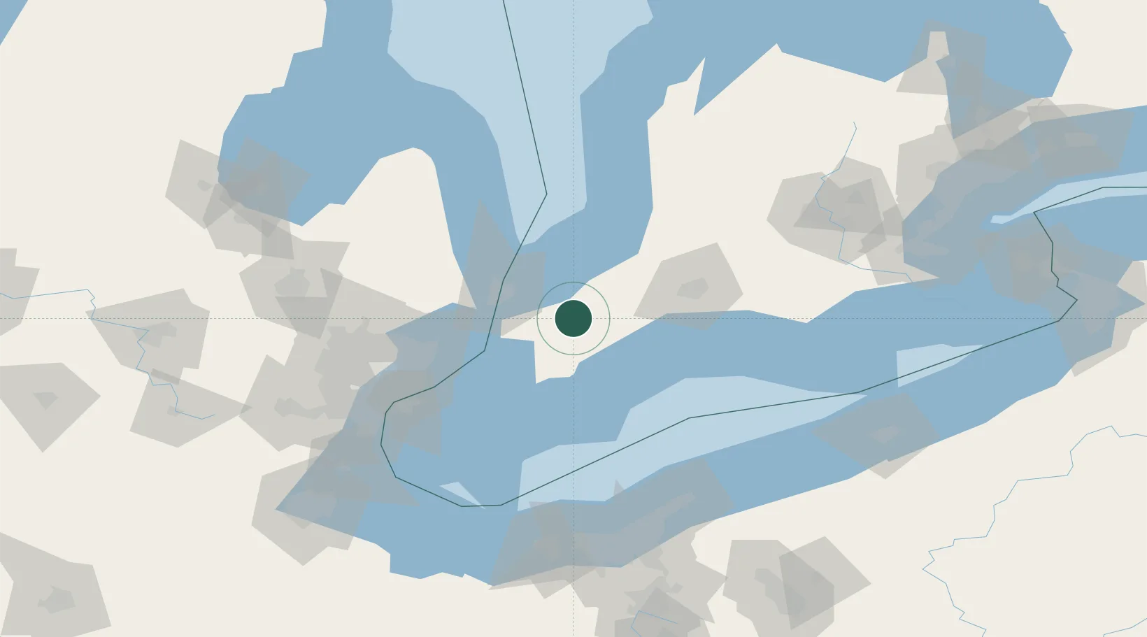
Location
Nearby Logistics Neighbours
Cities
- 1Wyoming18 km
- 2Wardsville25 km
- 3Thamesville30 km
- 4Forest32 km
- 5Chatham35 km
Ports
- 1Courtright39 km
- 2Sarnia40 km
- 3Point Edward41 km
- 4St Clair41 km
- 5Port Huron42 km
Airports
Trade Zones
- 1FTZ No. 210 St. Clair County45 km
- 2Windsor - Essex Foreign Trade Zone102 km
- 3FTZ No. 070 Detroit115 km
- 4FTZ No. 140 Flint147 km
- 5FTZ No. 040 Cleveland147 km
DatabookThe Record of Consolidated Knowledge
Canada beyond logistics?