Transport Functions
Rail
Road
Hub Profile
Place type
Populated place
Region
Alberta
Time zone
America/Edmonton
Elevation
746 m
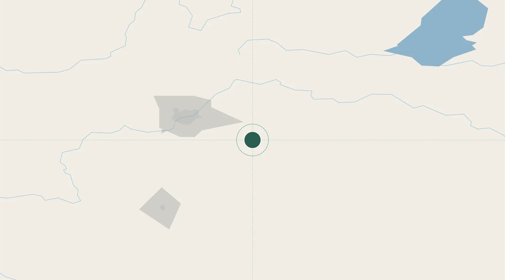
Location
Nearby Logistics Neighbours
Cities
- 1Round Hill7 km
- 2Tofield18 km
- 3Armena28 km
- 4Vegreville46 km
- 5New Norway47 km
Ports
- 1Mission City812 km
- 2Port Coquitlam836 km
- 3Port Moody840 km
- 4Fraser Mills842 km
- 5New Westminster847 km
Airports
- 1Edmonton International Airport68 km
- 2Red Deer Regional Airport146 km
- 3Lloydminster Airport166 km
- 4Bonnyville Airport170 km
- 5CFB Cold Lake200 km
Trade Zones
DatabookThe Record of Consolidated Knowledge
Canada beyond logistics?