Transport Functions
Rail
Road
Hub Profile
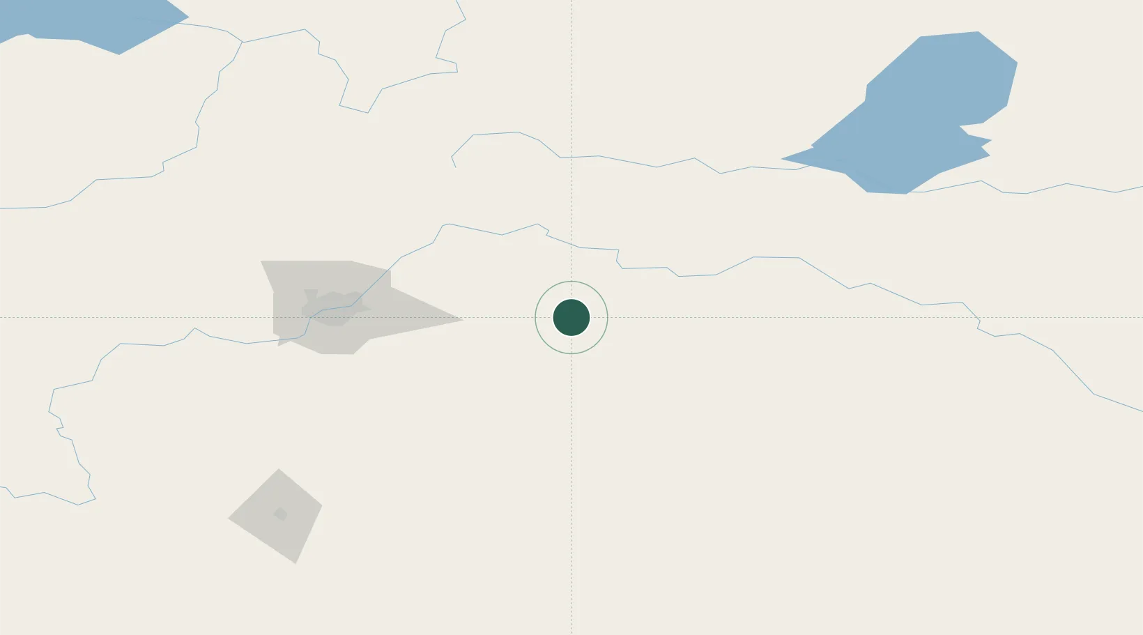
Place type
Populated place
Region
Alberta
Population
5,708
Time zone
America/Edmonton
Elevation
635 m
Location
Nearby Logistics Neighbours
Ports
- 1Mission City858 km
- 2Port Coquitlam881 km
- 3Port Moody885 km
- 4Fraser Mills887 km
- 5New Westminster892 km
Airports
- 1Edmonton International Airport104 km
- 2Bonnyville Airport124 km
- 3Lloydminster Airport131 km
- 4CFB Cold Lake154 km
- 5Red Deer Regional Airport191 km
Trade Zones
DatabookThe Record of Consolidated Knowledge
Canada beyond logistics?