Transport Functions
Rail
Road
Hub Profile
Place type
Locality
Region
Ontario
Time zone
America/Toronto
Elevation
200 m
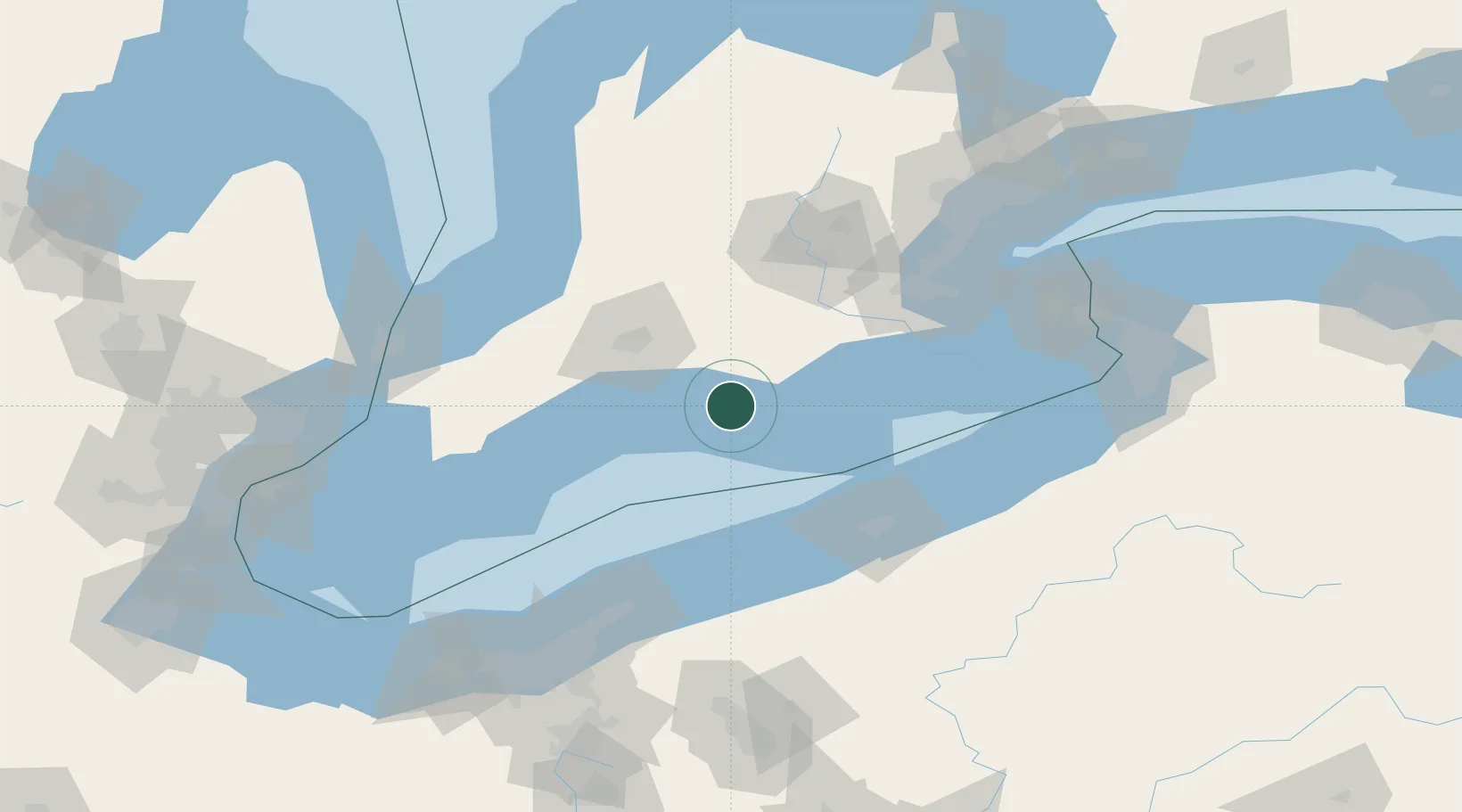
Location
Nearby Logistics Neighbours
Cities
- 1Tillsonburg19 km
- 2Delhi30 km
- 3Windham Centre38 km
- 4Talbotville Royal40 km
- 5Dorchester41 km
Ports
- 1Port Stanley34 km
- 2Port Dover49 km
- 3Erie82 km
- 4Conneaut82 km
- 5Ashtabula87 km
Airports
Trade Zones
- 1FTZ No. 247 Erie84 km
- 2FTZ No. 210 St. Clair County144 km
- 3Niagara Foreign Trade Zone149 km
- 4FTZ No. 034 Niagara County154 km
- 5FTZ No. 023 Buffalo157 km
DatabookThe Record of Consolidated Knowledge
Canada beyond logistics?