Transport Functions
Port
Road
Multimodal
Hub Profile
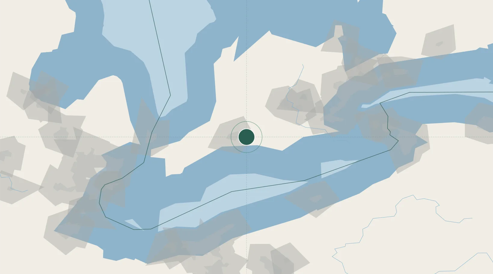
Place type
Populated place
Region
Ontario
Population
9,329
Time zone
America/Toronto
Elevation
260 m
Location
Nearby Logistics Neighbours
Cities
- 1Thamesford10 km
- 2Kintore17 km
- 3Lakeside24 km
- 4Talbotville Royal25 km
- 5Lobo29 km
Ports
- 1Port Stanley37 km
- 2Port Dover74 km
- 3Goderich101 km
- 4Hamilton103 km
- 5Rondeau105 km
Airports
Trade Zones
- 1FTZ No. 210 St. Clair County120 km
- 2FTZ No. 247 Erie125 km
- 3FTZ No. 034 Niagara County163 km
- 4Niagara Foreign Trade Zone165 km
- 5Windsor - Essex Foreign Trade Zone177 km
DatabookThe Record of Consolidated Knowledge
Canada beyond logistics?