Transport Functions
Rail
Road
Hub Profile
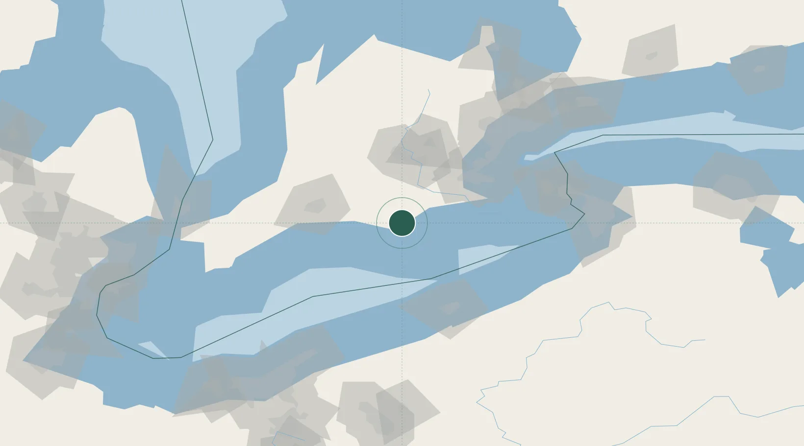
Place type
Populated place
Region
Ontario
Population
5,344
Time zone
America/Toronto
Elevation
234 m
Location
Nearby Logistics Neighbours
Cities
- 1Windham Centre9 km
- 2Tillsonburg18 km
- 3Scotland22 km
- 4Vienna30 km
- 5Jarvis32 km
Ports
- 1Port Dover26 km
- 2Port Stanley61 km
- 3Thorold69 km
- 4Hamilton69 km
- 5Port Maitland75 km
Airports
Trade Zones
- 1FTZ No. 247 Erie88 km
- 2Niagara Foreign Trade Zone121 km
- 3FTZ No. 034 Niagara County125 km
- 4FTZ No. 023 Buffalo133 km
- 5FTZ No. 210 St. Clair County165 km
DatabookThe Record of Consolidated Knowledge
Canada beyond logistics?