Transport Functions
Road
Multimodal
Hub Profile
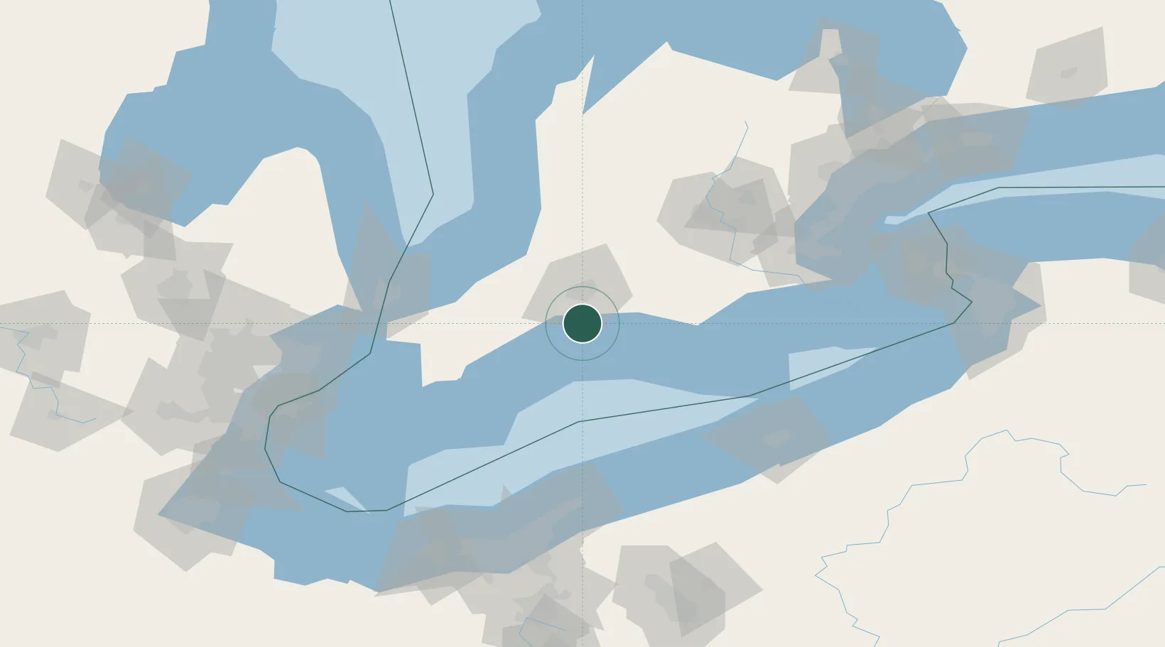
Place type
Populated place
Region
Ontario
Time zone
America/Toronto
Elevation
234 m
Location
Nearby Logistics Neighbours
Cities
- 1Dorchester25 km
- 2Lobo26 km
- 3Thamesford35 km
- 4Vienna40 km
- 5Kintore41 km
Ports
- 1Port Stanley15 km
- 2Rondeau80 km
- 3Port Dover86 km
- 4Sarnia97 km
- 5Point Edward98 km
Airports
Trade Zones
- 1FTZ No. 210 St. Clair County104 km
- 2FTZ No. 247 Erie121 km
- 3FTZ No. 040 Cleveland153 km
- 4Windsor - Essex Foreign Trade Zone155 km
- 5FTZ No. 070 Detroit170 km
DatabookThe Record of Consolidated Knowledge
Canada beyond logistics?