Medium airport · Canada

Brantford Municipal AirportCYFD
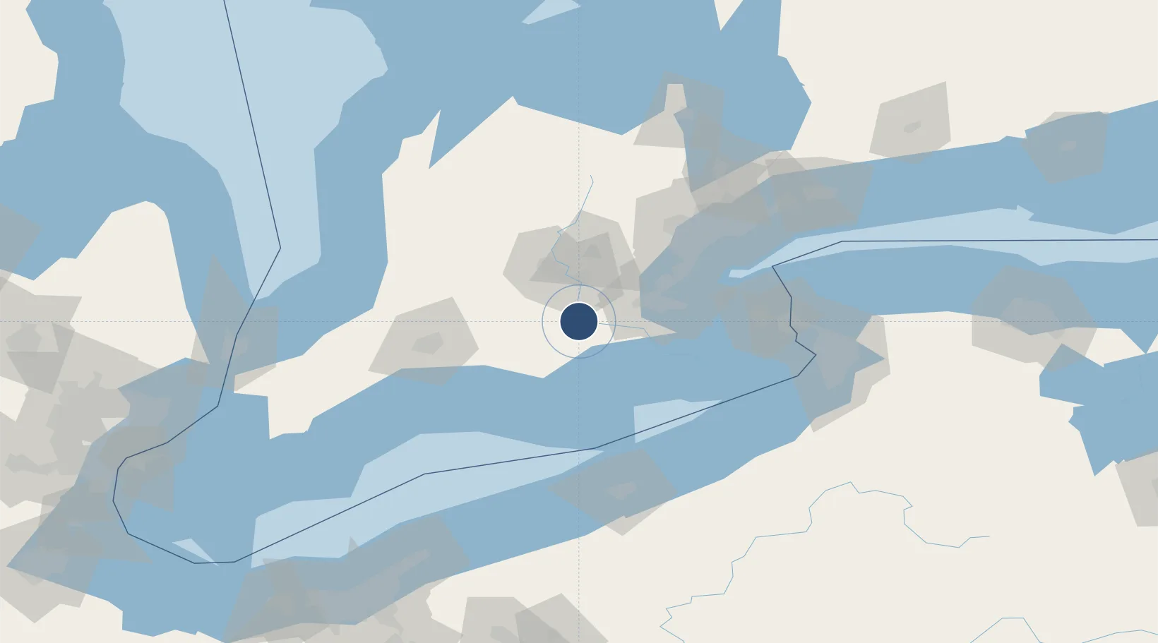
43.1314°, -80.3425°
5,000 ft
Longest runway
3
Runways
815 ft
Elevation

Runway & Layout

Brantford Municipal Airport runway & taxiway layout
Runway & taxiway layout — OpenStreetMap (ODbL) / OurAirports

Radio Frequencies

A/D
128.27 MHz
TORONTO TRML
UNIC
122.825 MHz
ATF/UNICOM
OurAirports

Navaids

FD NDB Brantford 207 kHz
OurAirports

Runways · 3

RunwayDimensions SurfaceTrue headingLit
05/23 5,000 × 100ft Asphalt 044°
11/29 2,600 × 100ft Asphalt 099°
17/35 2,600 × 100ft Asphalt 165°
OurAirports

Airport Specifications

ICAO code
CYFD
OurAirports
Airport class
Medium airport
OurAirports
Scheduled service
No
OurAirports
Runway surface
Asphalt
OurAirports
Served city
Brantford
OurAirports

Location

Location of CYFD
Natural Earth 10m (public domain) · Ontario · CYFD · 43.13, -80.34GoogleOSMYandex

Nearby Logistics Neighbours

Airports
  1. 1John C. Munro Hamilton International Airport34 km
  2. 2Region of Waterloo International Airport37 km
  3. 3London International Airport66 km
  4. 4St Thomas Municipal Airport74 km
  5. 5Brampton-Caledon Airport80 km
Nearest neighbours — logibook spatial index (haversine) over the source coordinates
Cities
  1. 1Brant3 km
  2. 2Scotland13 km
  3. 3Glen Morris15 km
  4. 4Galt25 km
  5. 5Cambridge26 km
Nearest neighbours — logibook spatial index (haversine) over the source coordinates
Ports
  1. 1Port Dover40 km
  2. 2Hamilton42 km
  3. 3Thorold51 km
  4. 4Oakville64 km
  5. 5Port Maitland69 km
Nearest neighbours — logibook spatial index (haversine) over the source coordinates
Trade Zones
  1. 1FTZ No. 034 Niagara County102 km
  2. 2Niagara Foreign Trade Zone105 km
  3. 3FTZ No. 247 Erie115 km
  4. 4FTZ No. 023 Buffalo123 km
  5. 5FTZ No. 210 St. Clair County181 km
Nearest neighbours — logibook spatial index (haversine) over the source coordinates
DatabookThe Record of Consolidated Knowledge
Canada beyond logistics?
Browse databook

All Sources

AirportsOurAirports
Public domain
Portsthe NGA World Port Index
Public domain (US gov)
LocationsUN/LOCODE
UN/LOCODE — free
Trade Zonesthe World Bank SEZ database
CC BY 4.0
Trade ZonesOpen Zone Map
CC BY
InfrastructureOpenStreetMap
ODbL 1.0
← Canada airports