Transport Functions
Rail
Road
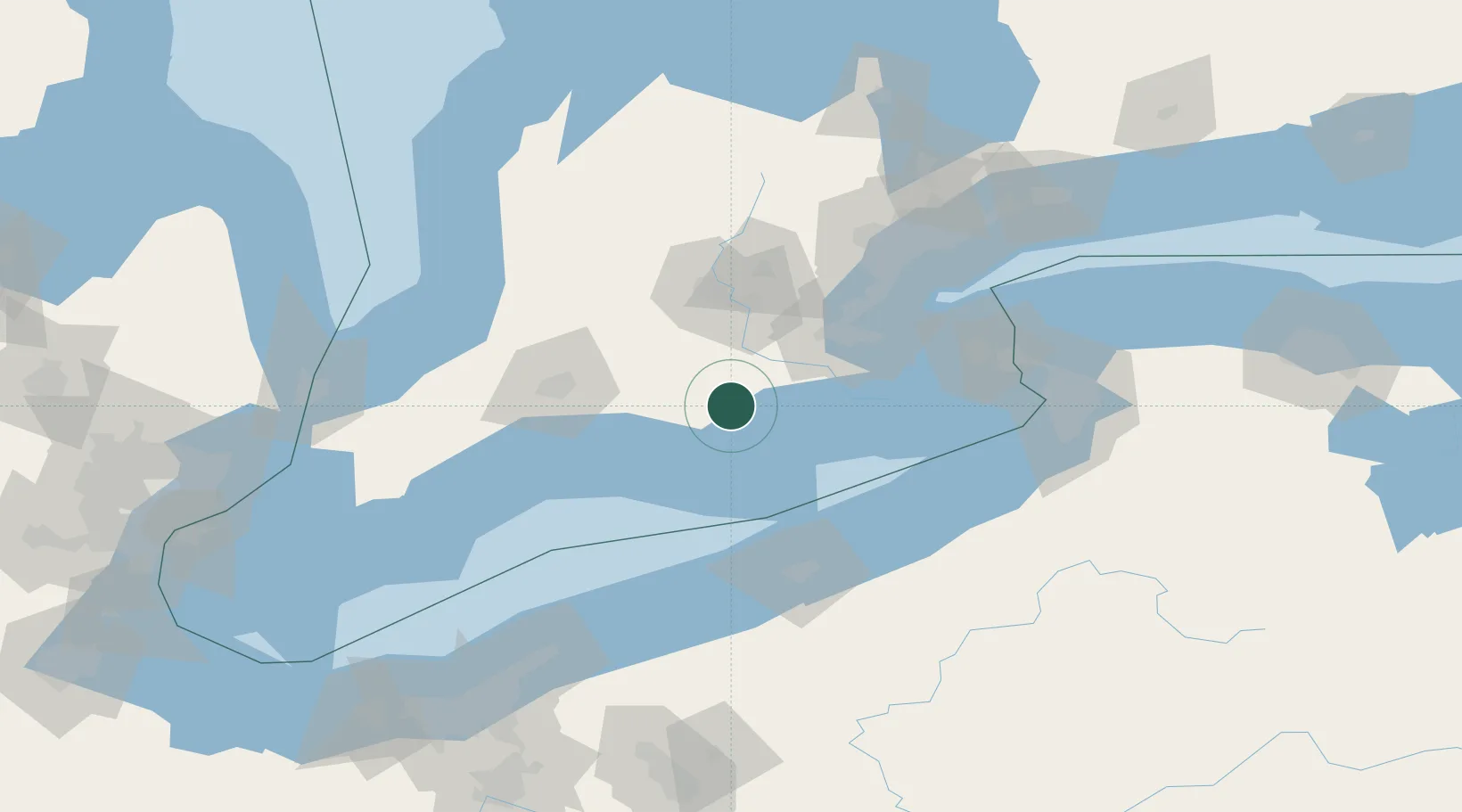
Hub Profile
Place type
Populated place
Region
Ontario
Time zone
America/Toronto
Elevation
249 m
Location
Nearby Logistics Neighbours
Cities
- 1Delhi9 km
- 2Scotland14 km
- 3Brant24 km
- 4Jarvis25 km
- 5Tillsonburg25 km
Ports
- 1Port Dover22 km
- 2Hamilton60 km
- 3Thorold61 km
- 4Port Maitland68 km
- 5Port Stanley69 km
Airports
Trade Zones
- 1FTZ No. 247 Erie91 km
- 2Niagara Foreign Trade Zone113 km
- 3FTZ No. 034 Niagara County116 km
- 4FTZ No. 023 Buffalo126 km
- 5FTZ No. 210 St. Clair County172 km
DatabookThe Record of Consolidated Knowledge
Canada beyond logistics?