Transport Functions
Rail
Road
Hub Profile
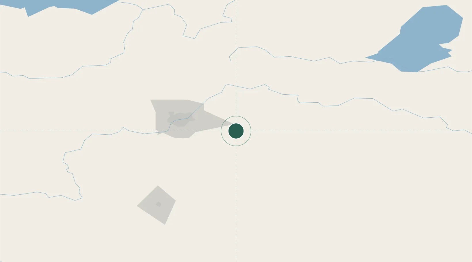
Place type
Populated place
Region
Alberta
Population
1,911
Time zone
America/Edmonton
Elevation
697 m
Location
Nearby Logistics Neighbours
Cities
- 1Kingman18 km
- 2Round Hill22 km
- 3Armena34 km
- 4Vegreville44 km
- 5Bruderheim51 km
Ports
- 1Mission City815 km
- 2Port Coquitlam838 km
- 3Port Moody842 km
- 4Fraser Mills844 km
- 5New Westminster849 km
Airports
- 1Edmonton International Airport61 km
- 2Red Deer Regional Airport155 km
- 3Bonnyville Airport164 km
- 4Lloydminster Airport172 km
- 5CFB Cold Lake194 km
Trade Zones
DatabookThe Record of Consolidated Knowledge
Canada beyond logistics?