Transport Functions
Rail
Road
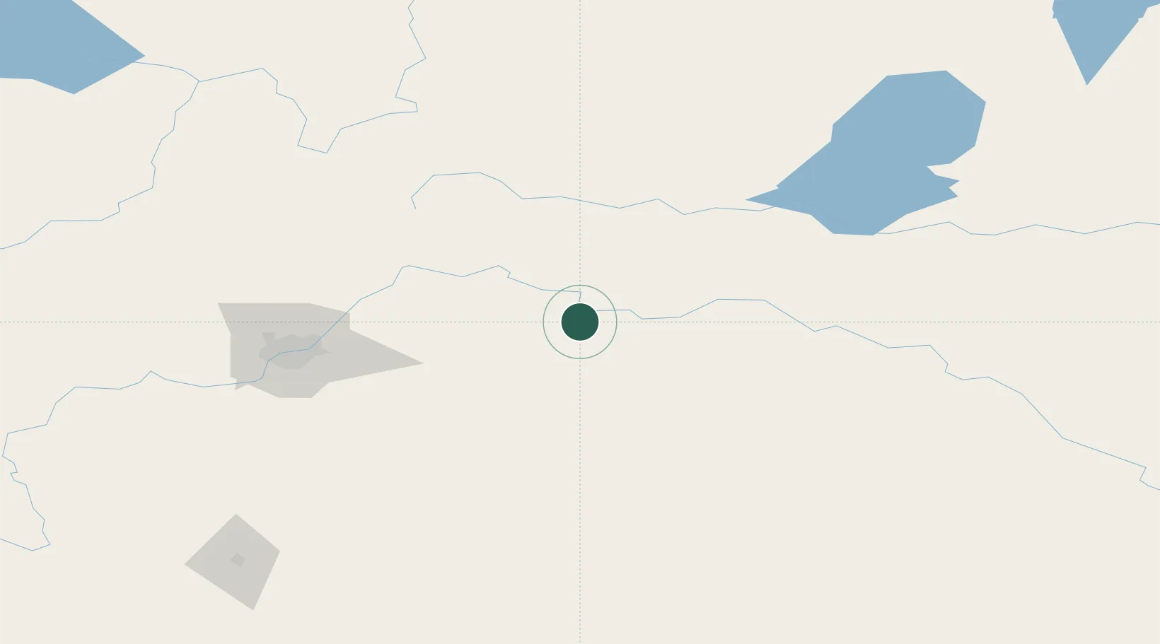
Hub Profile
Place type
Populated place
Region
Alberta
Population
1,352
Time zone
America/Edmonton
Elevation
605 m
Location
Nearby Logistics Neighbours
Cities
- 1Vegreville32 km
- 2Innisfree40 km
- 3Smoky Lake65 km
- 4Viking71 km
- 5Glendon71 km
Ports
- 1Mission City887 km
- 2Port Coquitlam910 km
- 3Port Moody913 km
- 4Fraser Mills916 km
- 5New Westminster921 km
Airports
- 1Bonnyville Airport93 km
- 2Lloydminster Airport120 km
- 3CFB Cold Lake123 km
- 4Edmonton International Airport129 km
- 5Meadow Lake Airport216 km
Trade Zones
- 1Port Alberta - Edmonton FTZ104 km
- 2Calgary Region Inland Port336 km
- 3FTZ No. 187 Toole County569 km
- 4Global Transportation Hub Authority600 km
- 5FTZ No. 242 Boundary County655 km
DatabookThe Record of Consolidated Knowledge
Canada beyond logistics?