Transport Functions
Rail
Road
Hub Profile
Place type
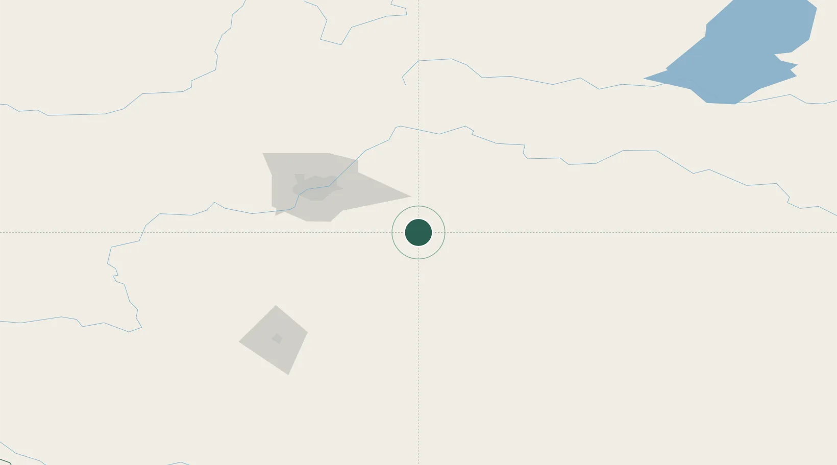
Populated place
Region
Alberta
Time zone
America/Edmonton
Elevation
735 m
Location
Nearby Logistics Neighbours
Cities
- 1Kingman7 km
- 2Armena22 km
- 3Tofield22 km
- 4New Norway40 km
- 5Ferintosh50 km
Ports
- 1Mission City806 km
- 2Port Coquitlam829 km
- 3Port Moody833 km
- 4Fraser Mills835 km
- 5New Westminster840 km
Airports
- 1Edmonton International Airport65 km
- 2Red Deer Regional Airport139 km
- 3Lloydminster Airport171 km
- 4Bonnyville Airport177 km
- 5CFB Cold Lake207 km
Trade Zones
DatabookThe Record of Consolidated Knowledge
Canada beyond logistics?