Transport Functions
Rail
Road
Hub Profile
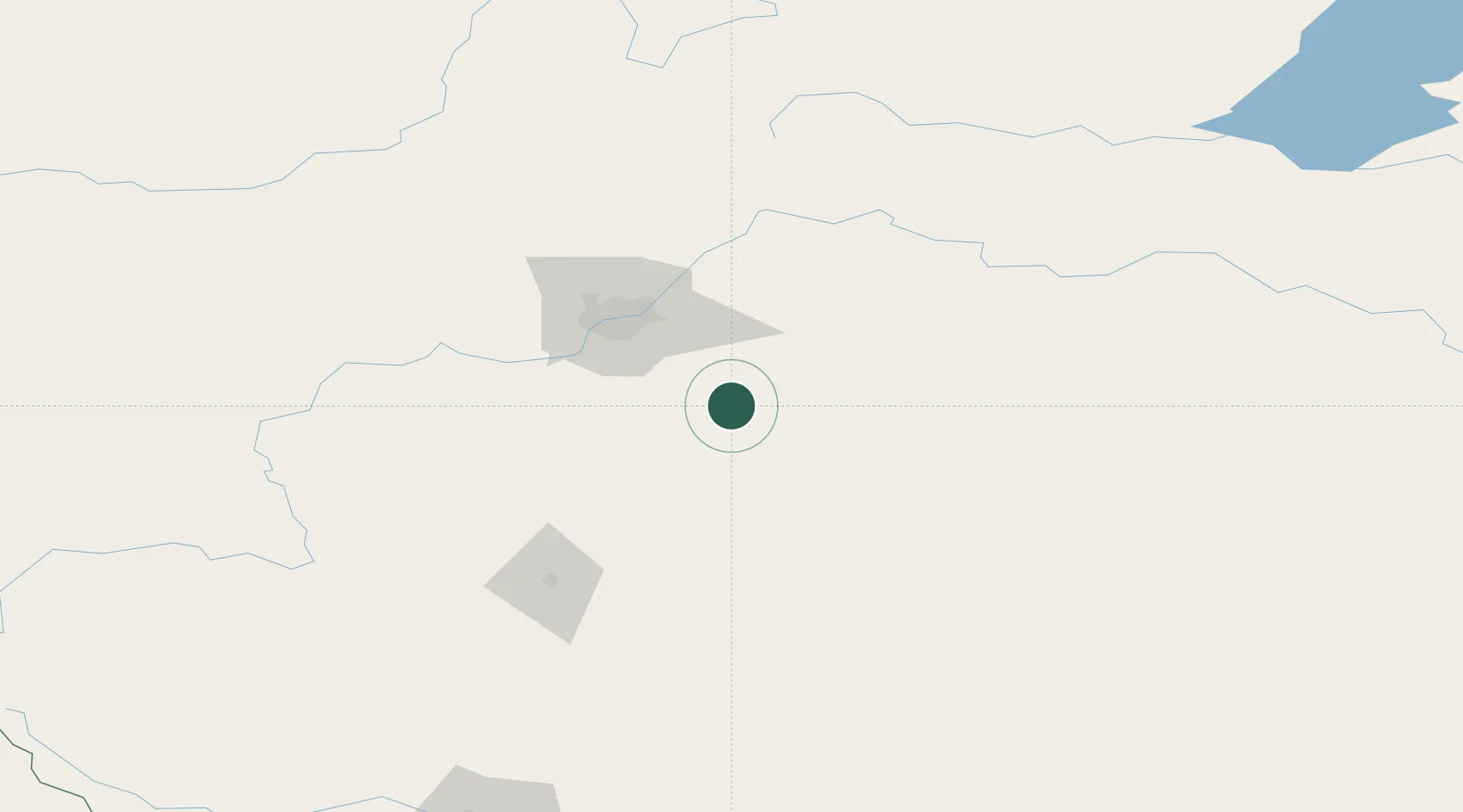
Place type
Locality
Region
Alberta
Time zone
America/Edmonton
Elevation
748 m
Location
Nearby Logistics Neighbours
Cities
- 1Round Hill22 km
- 2New Norway28 km
- 3Kingman28 km
- 4Tofield34 km
- 5Millet35 km
Ports
- 1Mission City784 km
- 2Port Coquitlam808 km
- 3Port Moody812 km
- 4Fraser Mills814 km
- 5New Westminster819 km
Airports
- 1Edmonton International Airport47 km
- 2Red Deer Regional Airport122 km
- 3Lloydminster Airport193 km
- 4Bonnyville Airport196 km
- 5Whitecourt Airport219 km
Trade Zones
- 1Port Alberta - Edmonton FTZ62 km
- 2Calgary Region Inland Port242 km
- 3FTZ No. 187 Toole County504 km
- 4FTZ No. 242 Boundary County556 km
- 5FTZ No. 088 Great Falls633 km
DatabookThe Record of Consolidated Knowledge
Canada beyond logistics?