Transport Functions
Road
Multimodal
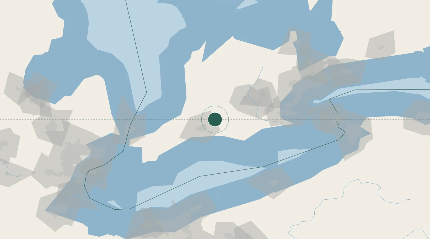
Hub Profile
Place type
Populated place
Region
Ontario
Time zone
America/Toronto
Elevation
323 m
Location
Nearby Logistics Neighbours
Cities
- 1Lakeside8 km
- 2Thamesford10 km
- 3Saint-Marys15 km
- 4Dorchester17 km
- 5Saint-Pauls-Station21 km
Ports
- 1Port Stanley54 km
- 2Port Dover78 km
- 3Goderich89 km
- 4Hamilton97 km
- 5Thorold107 km
Airports
Trade Zones
- 1FTZ No. 210 St. Clair County126 km
- 2FTZ No. 247 Erie136 km
- 3FTZ No. 034 Niagara County157 km
- 4Niagara Foreign Trade Zone161 km
- 5FTZ No. 023 Buffalo178 km
DatabookThe Record of Consolidated Knowledge
Canada beyond logistics?