Transport Functions
Port
Rail
Road
Hub Profile
Place type
Populated place
Region
Ontario
Time zone
America/Toronto
Elevation
280 m
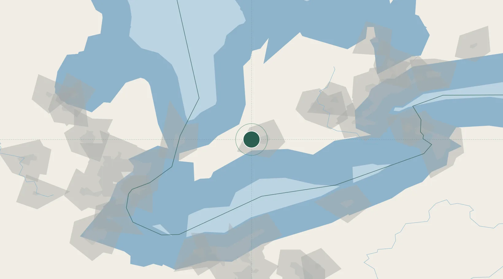
Location
Nearby Logistics Neighbours
Cities
- 1Talbotville Royal26 km
- 2Dorchester29 km
- 3Kintore35 km
- 4Thamesford36 km
- 5Saint-Marys37 km
Ports
- 1Port Stanley41 km
- 2Point Edward81 km
- 3Sarnia81 km
- 4Port Huron83 km
- 5Goderich87 km
Airports
Trade Zones
- 1FTZ No. 210 St. Clair County93 km
- 2FTZ No. 247 Erie146 km
- 3Windsor - Essex Foreign Trade Zone152 km
- 4FTZ No. 070 Detroit166 km
- 5FTZ No. 040 Cleveland171 km
DatabookThe Record of Consolidated Knowledge
Canada beyond logistics?