UN/LOCODE hub · Canada
CAILS

L'Île-des-Soeurs (Nuns Island)

45.3000°, -74.0333°
2
Transport functions

Transport Functions

Port
Multimodal
UN/LOCODE

Hub Profile

Region
QC
GeoNames

Location

Location of CAILS
Natural Earth 10m (public domain) · QC · CAILS · 45.30, -74.03GoogleOSMYandex

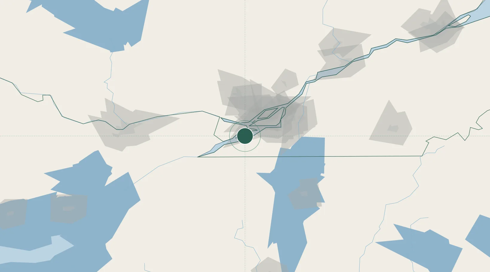
Nearby Logistics Neighbours

Cities
  1. 1Saint-Dominique9 km
  2. 2Salaberry-de-Valleyfield10 km
  3. 3Valleyfield10 km
  4. 4Vaudreuil-Dorion11 km
  5. 5Saint-Louis-de-Gonzague12 km
Nearest neighbours — logibook spatial index (haversine) over the source coordinates
Ports
  1. 1Vaudreuil11 km
  2. 2Beauharnois12 km
  3. 3Coteau Landing14 km
  4. 4St Zotique18 km
  5. 5Oka Sur Le Lac19 km
Nearest neighbours — logibook spatial index (haversine) over the source coordinates
Airports
  1. 1Montreal / Pierre Elliott Trudeau International Airport29 km
  2. 2Montreal Mirabel International Airport42 km
  3. 3Cornwall Regional Airport48 km
  4. 4Montréal / Saint-Hubert Metropolitan Airport54 km
  5. 5St Jean Airport59 km
Nearest neighbours — logibook spatial index (haversine) over the source coordinates
Trade Zones
  1. 1Greater Montreal Free Zone Center44 km
  2. 2FTZ No. 118 Ogdensburg133 km
  3. 3FTZ No. 109 Watertown207 km
  4. 4Québec City FTZ274 km
  5. 5FTZ No. 172 Oneida County279 km
Nearest neighbours — logibook spatial index (haversine) over the source coordinates
DatabookThe Record of Consolidated Knowledge
Canada beyond logistics?
Browse databook

All Sources

LocationsUN/LOCODE
UN/LOCODE — free
Portsthe NGA World Port Index
Public domain (US gov)
AirportsOurAirports
Public domain
Trade Zonesthe World Bank SEZ database
CC BY 4.0
Trade ZonesOpen Zone Map
CC BY
← Canada locations