Transport Functions
Port
Hub Profile
Place type
Populated place
Region
England
Time zone
Europe/London
Elevation
110 m
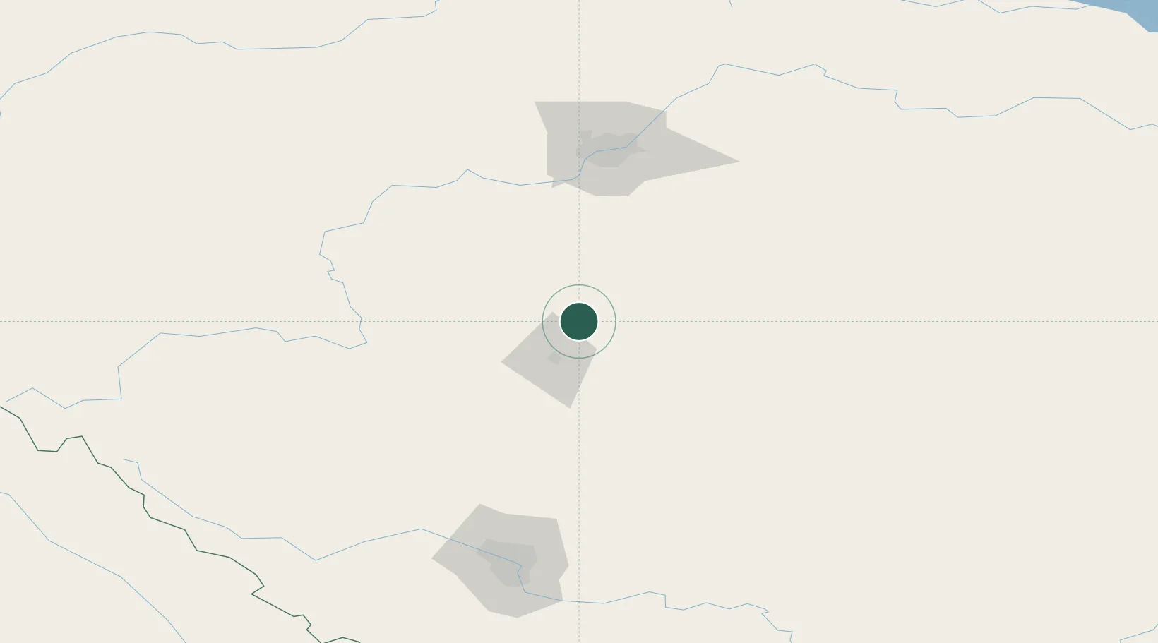
Location
Nearby Logistics Neighbours
Cities
- 1Sylvan Lake35 km
- 2Bashaw48 km
- 3Ferintosh56 km
- 4New Norway63 km
- 5Millet68 km
Ports
- 1Mission City709 km
- 2Port Coquitlam734 km
- 3Port Moody738 km
- 4Fraser Mills740 km
- 5New Westminster745 km
Airports
- 1Red Deer Regional Airport39 km
- 2Edmonton International Airport90 km
- 3Calgary International Airport155 km
- 4Calgary / Springbank Airport163 km
- 5Edson Airport222 km
Trade Zones
- 1Port Alberta - Edmonton FTZ128 km
- 2Calgary Region Inland Port164 km
- 3FTZ No. 187 Toole County444 km
- 4FTZ No. 242 Boundary County473 km
- 5FTZ No. 088 Great Falls578 km
DatabookThe Record of Consolidated Knowledge
United Kingdom beyond logistics?