Transport Functions
Rail
Road
Hub Profile
Place type
Populated place
Region
Alberta
Time zone
America/Edmonton
Elevation
923 m
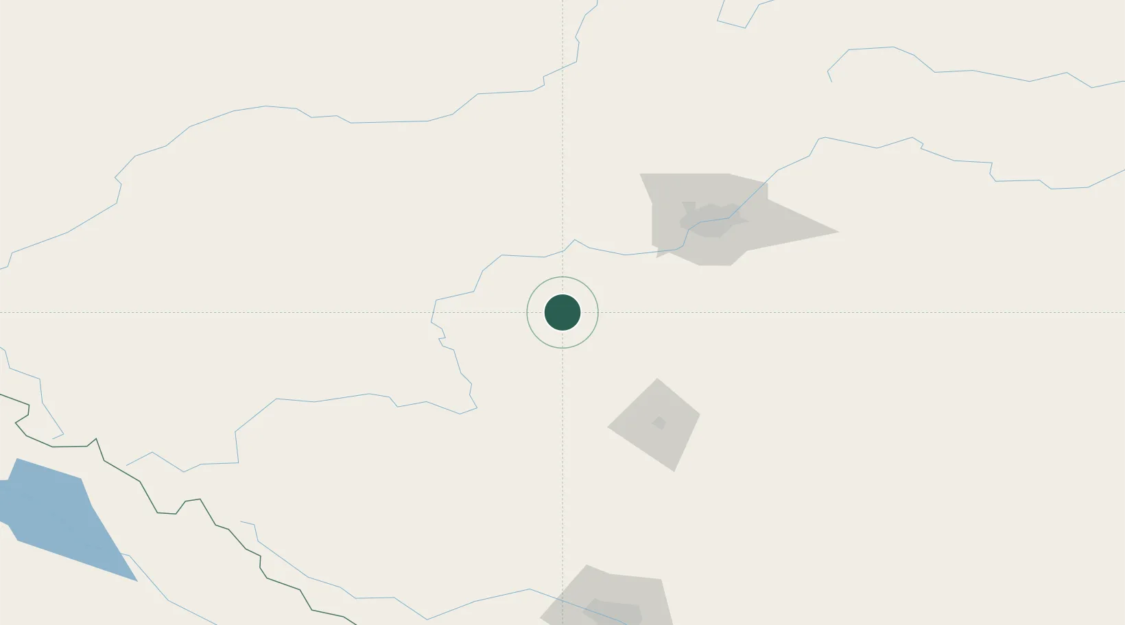
Location
Nearby Logistics Neighbours
Cities
- 1Warburg25 km
- 2Sunnybrook30 km
- 3Thorsby39 km
- 4Duffield63 km
- 5Millet65 km
Ports
- 1Mission City693 km
- 2Port Coquitlam715 km
- 3Port Moody718 km
- 4Fraser Mills721 km
- 5New Westminster726 km
Airports
- 1Edmonton International Airport68 km
- 2Red Deer Regional Airport94 km
- 3Edson Airport152 km
- 4Whitecourt Airport159 km
- 5Calgary / Springbank Airport207 km
Trade Zones
- 1Port Alberta - Edmonton FTZ104 km
- 2Calgary Region Inland Port215 km
- 3FTZ No. 242 Boundary County498 km
- 4FTZ No. 187 Toole County507 km
- 5PrInce George Logistics Park562 km
DatabookThe Record of Consolidated Knowledge
Canada beyond logistics?