Transport Functions
Port
Road
Hub Profile
Place type
Populated place
Region
Ontario
Time zone
America/Toronto
Elevation
207 m
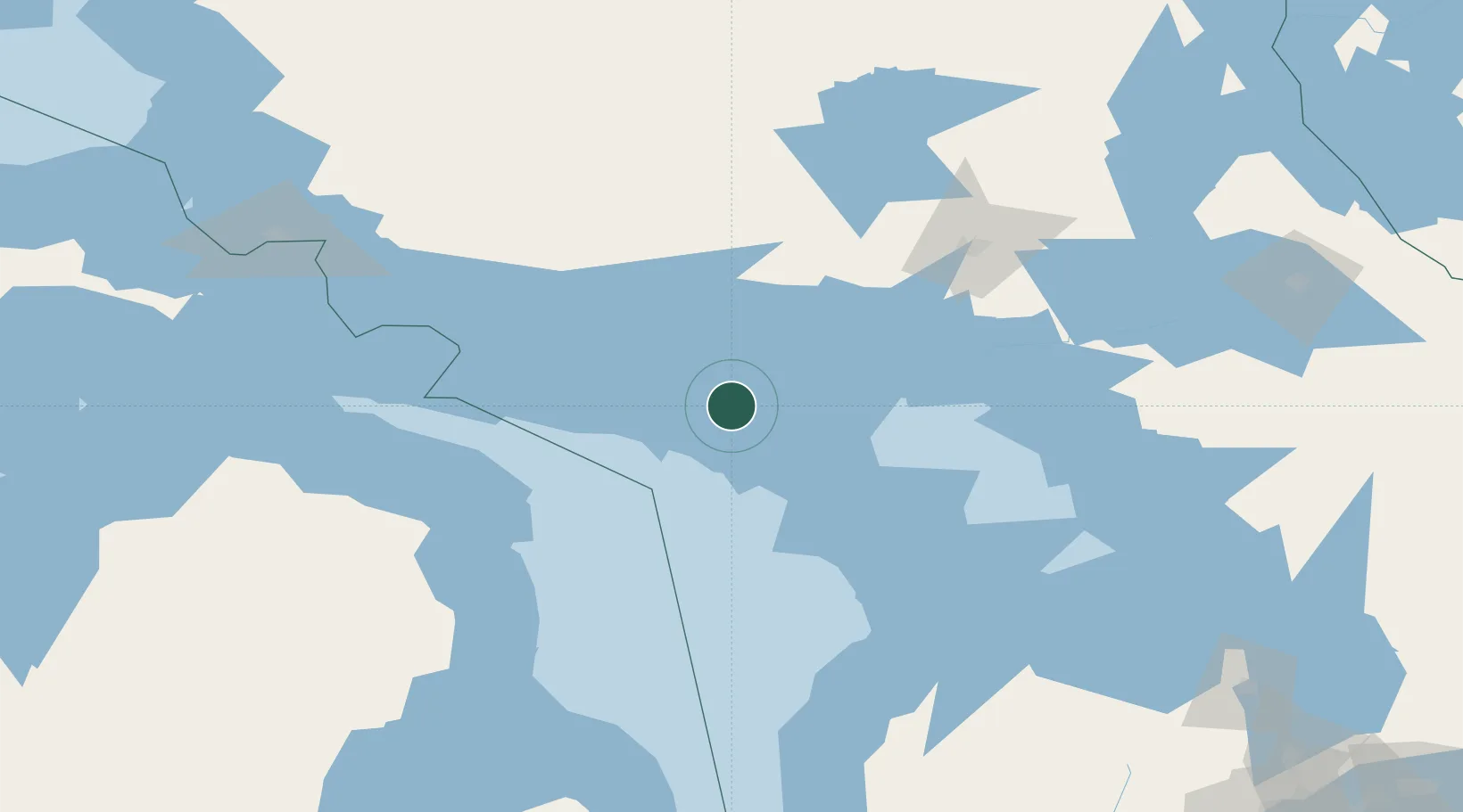
Location
Nearby Logistics Neighbours
Cities
- 1Silver Water56 km
- 2Lively111 km
- 3Presque Isle112 km
- 4Key Harbour112 km
- 5Onaping114 km
Ports
- 1Manitowaning29 km
- 2Gore Bay31 km
- 3Little Current33 km
- 4Killarney57 km
- 5Meldrum Bay77 km
Airports
Trade Zones
- 1FTZ No. 016 Sault Ste. Marie192 km
- 2FTZ No. 210 St. Clair County324 km
- 3FTZ No. 140 Flint328 km
- 4FTZ No. 284 Genesee County336 km
- 5FTZ No. 034 Niagara County361 km
DatabookThe Record of Consolidated Knowledge
Canada beyond logistics?