Transport Functions
Port
Rail
Road
Hub Profile
Place type
Populated place
Region
Quebec
Time zone
America/Toronto
Elevation
24 m
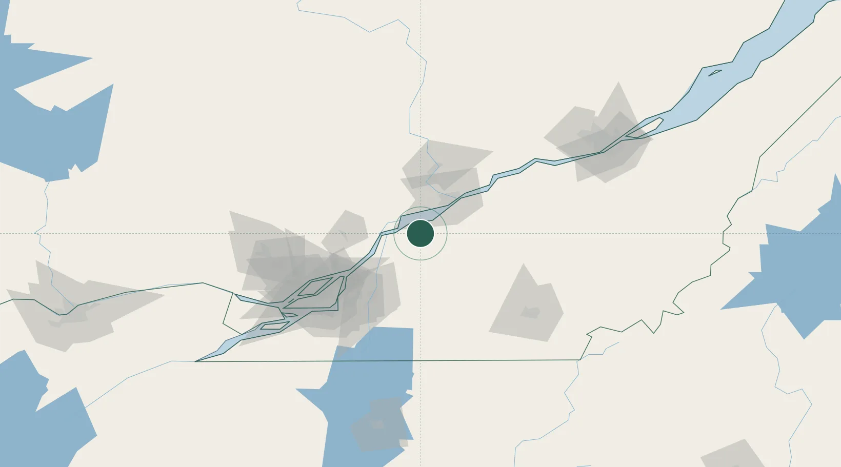
Location
Nearby Logistics Neighbours
Cities
- 1Louiseville22 km
- 2Yamachiche24 km
- 3Sainte-Victoire-de-Sorel27 km
- 4Sainte-Brigitte-des-Saults29 km
- 5Saint-Germain-de-Grantham33 km
Ports
- 1Sorel22 km
- 2Contrecour35 km
- 3Trois Rivieres38 km
- 4Port De Becancour51 km
- 5Montreal83 km
Airports
Trade Zones
- 1Greater Montreal Free Zone Center84 km
- 2Québec City FTZ148 km
- 3FTZ No. 118 Ogdensburg258 km
- 4FTZ No. 186 Waterville298 km
- 5FTZ No. 263 Auburn301 km
DatabookThe Record of Consolidated Knowledge
Canada beyond logistics?