UN/LOCODE hub · Canada
CAZCR

Saint-Charles-sur-Richelieu

45.6833°, -73.1833°
3
Transport functions

Transport Functions

Port
Road
Multimodal
UN/LOCODE

Hub Profile

Place type
Populated place
GeoNames
Region
Quebec
GeoNames
Time zone
America/Toronto
GeoNames
Elevation
7 m
GeoNames

Location

Location of CAZCR
Natural Earth 10m (public domain) · Quebec · CAZCR · 45.68, -73.18GoogleOSMYandex

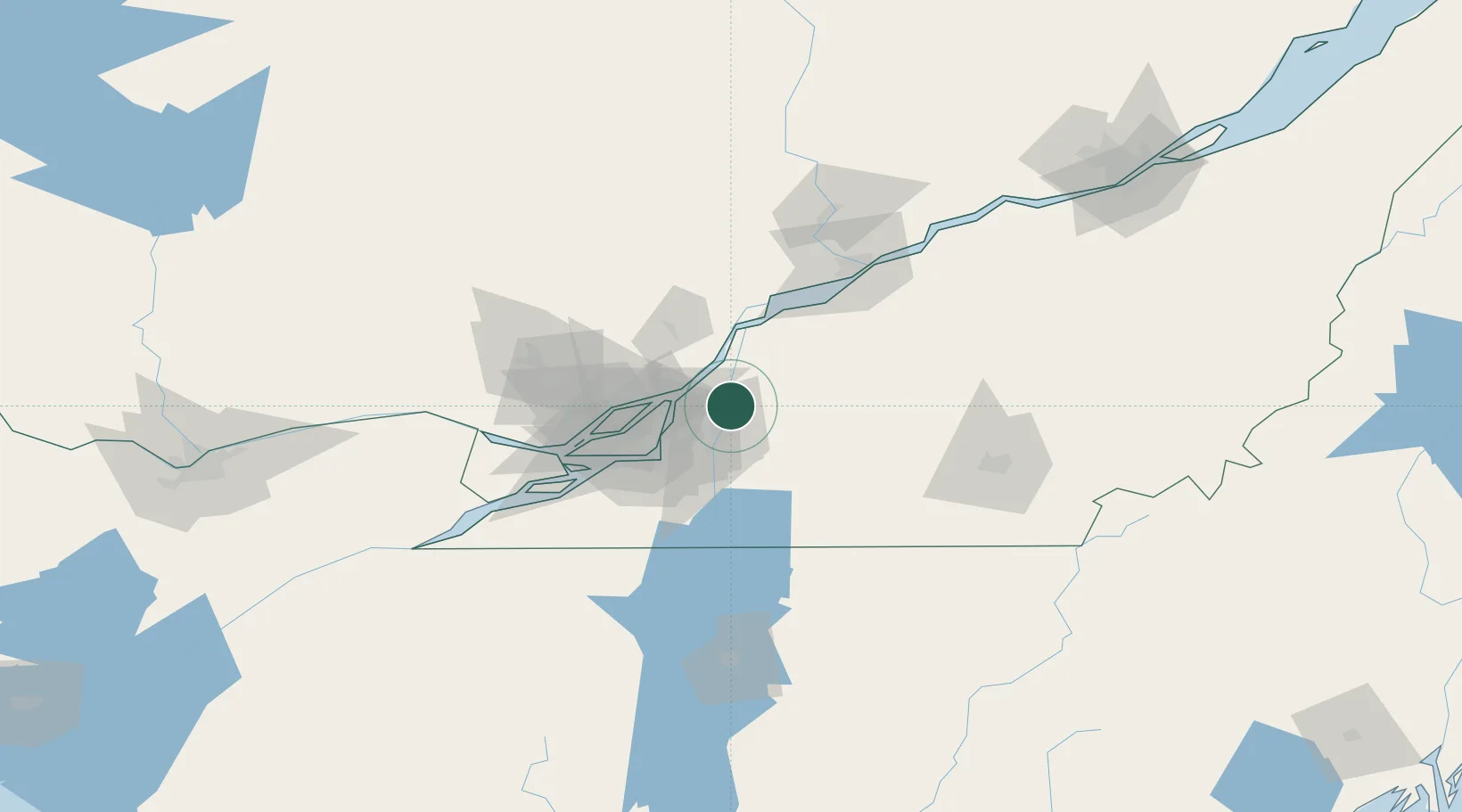
Nearby Logistics Neighbours

Cities
  1. 1Saint-Hilaire13 km
  2. 2Verchères16 km
  3. 3La Présentation20 km
  4. 4Saint-Hyacinthe20 km
  5. 5Pointe-aux-Trembles24 km
Nearest neighbours — logibook spatial index (haversine) over the source coordinates
Ports
  1. 1Contrecour22 km
  2. 2Montreal34 km
  3. 3Sorel41 km
  4. 4Beauharnois68 km
  5. 5Vaudreuil73 km
Nearest neighbours — logibook spatial index (haversine) over the source coordinates
Trade Zones
  1. 1Greater Montreal Free Zone Center35 km
  2. 2Québec City FTZ196 km
  3. 3FTZ No. 118 Ogdensburg212 km
  4. 4FTZ No. 109 Watertown285 km
  5. 5FTZ No. 263 Auburn293 km
Nearest neighbours — logibook spatial index (haversine) over the source coordinates
DatabookThe Record of Consolidated Knowledge
Canada beyond logistics?
Browse databook

All Sources

LocationsUN/LOCODE
UN/LOCODE — free
Portsthe NGA World Port Index
Public domain (US gov)
AirportsOurAirports
Public domain
Trade Zonesthe World Bank SEZ database
CC BY 4.0
Trade ZonesOpen Zone Map
CC BY
← Canada locations