Transport Functions
Port
Rail
Road
Airport
Hub Profile
Place type
Populated place
Region
Saskatchewan
Time zone
America/Regina
Elevation
510 m
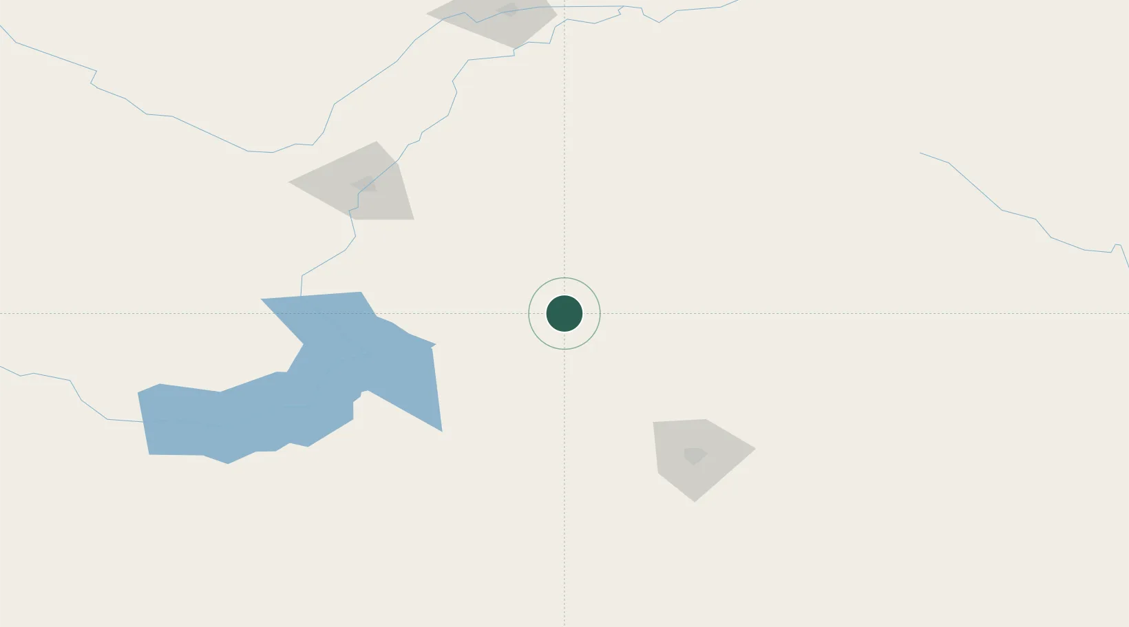
Location
Nearby Logistics Neighbours
Cities
- 1Kenaston61 km
- 2Lanigan64 km
- 3Strongfield74 km
- 4Colonsay77 km
- 5Allan77 km
Ports
- 1Churchill1092 km
- 2Duluth1094 km
- 3Superior1098 km
- 4Two Harbors1109 km
- 5Grand Marais1158 km
Airports
Trade Zones
- 1Global Transportation Hub Authority110 km
- 2FTZ No. 187 Toole County576 km
- 3Port Alberta - Edmonton FTZ592 km
- 4Calgary Region Inland Port602 km
- 5Winnipegs Centreport Canada606 km
DatabookThe Record of Consolidated Knowledge
Canada beyond logistics?