Transport Functions
Rail
Road
Hub Profile
Place type
Populated place
Region
Saskatchewan
Time zone
America/Regina
Elevation
534 m
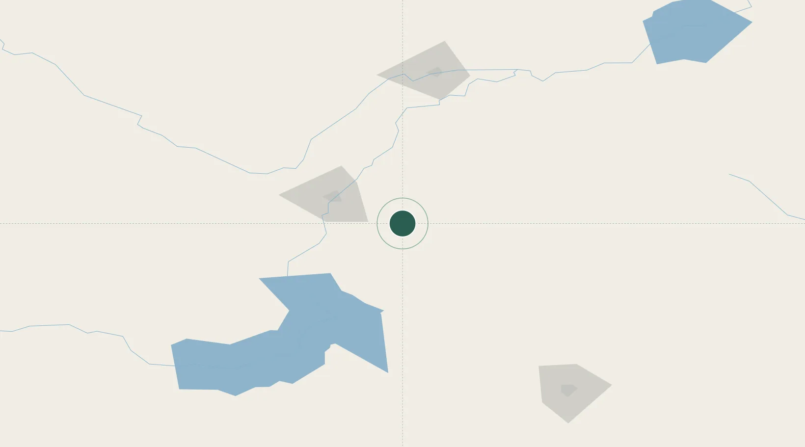
Location
Nearby Logistics Neighbours
Ports
- 1Churchill1069 km
- 2Duluth1159 km
- 3Superior1163 km
- 4Two Harbors1172 km
- 5Mission City1182 km
Airports
Trade Zones
- 1Global Transportation Hub Authority186 km
- 2Port Alberta - Edmonton FTZ525 km
- 3Calgary Region Inland Port562 km
- 4FTZ No. 187 Toole County574 km
- 5FTZ No. 088 Great Falls623 km
DatabookThe Record of Consolidated Knowledge
Canada beyond logistics?