Transport Functions
Rail
Road
Hub Profile
Place type
Populated place
Region
Saskatchewan
Population
1,204
Time zone
America/Regina
Elevation
534 m
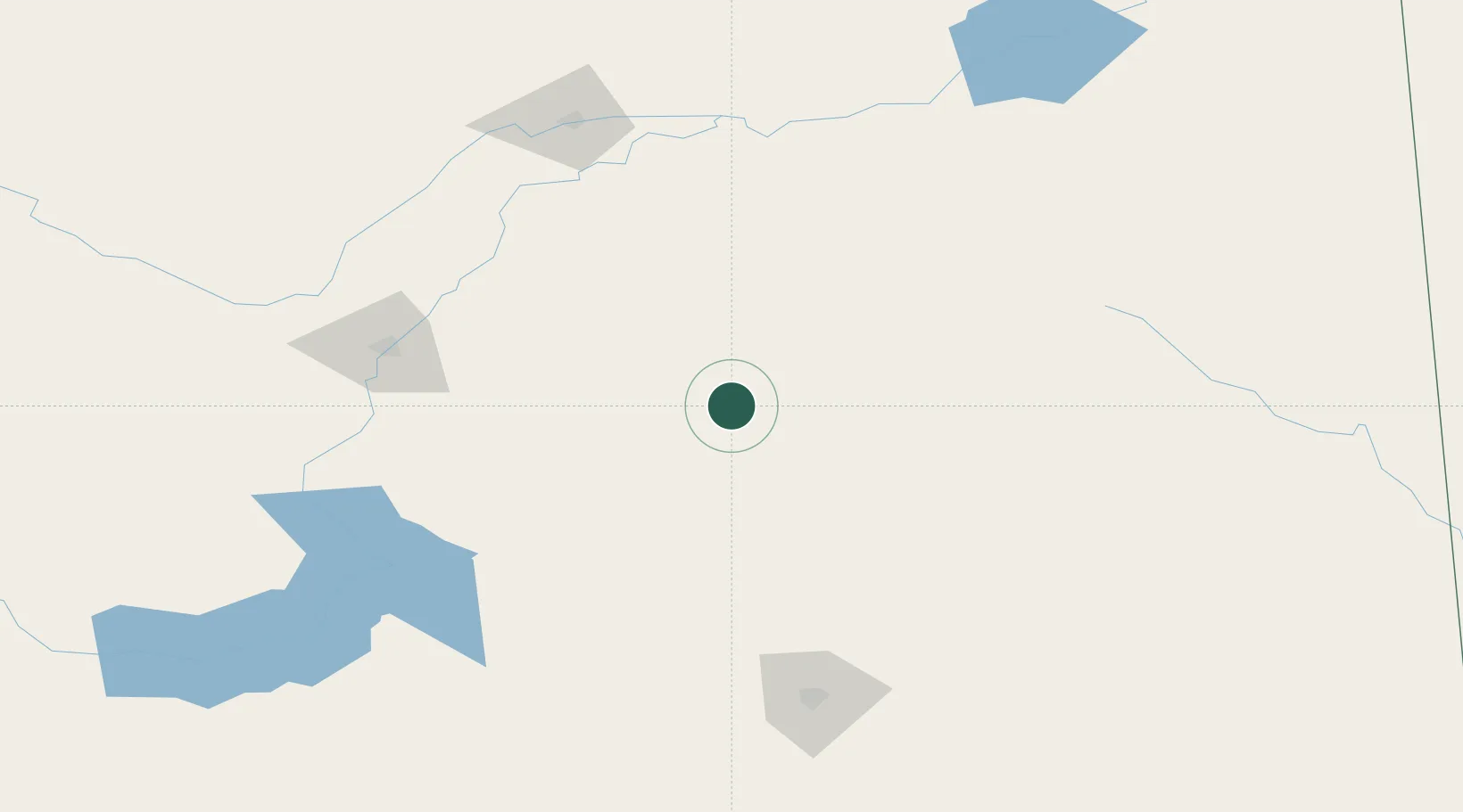
Location
Nearby Logistics Neighbours
Cities
- 1Leroy26 km
- 2Saint-Gregor40 km
- 3Humboldt40 km
- 4Colonsay60 km
- 5Imperial64 km
Ports
- 1Churchill1028 km
- 2Duluth1092 km
- 3Superior1096 km
- 4Two Harbors1104 km
- 5Grand Marais1146 km
Airports
Trade Zones
- 1Global Transportation Hub Authority157 km
- 2Port Alberta - Edmonton FTZ593 km
- 3Winnipegs Centreport Canada594 km
- 4FTZ No. 187 Toole County630 km
- 5Calgary Region Inland Port633 km
DatabookThe Record of Consolidated Knowledge
Canada beyond logistics?