UN/LOCODE hub · Canada
CASRA
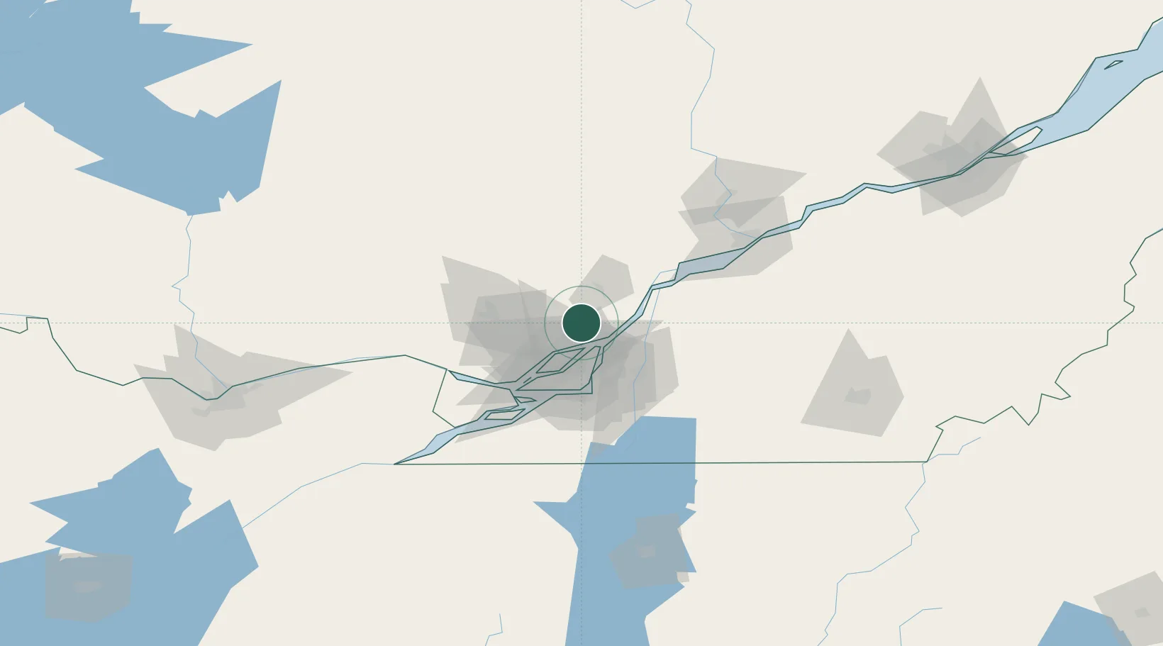
Saint-Roch-de-l'Achigan
45.8500°, -73.5833°
5,453
Population
2
Transport functions
Transport Functions
Port
Road
Hub Profile
Place type
Populated place
Region
Quebec
Population
5,453
Time zone
America/Toronto
Elevation
47 m
Location
Nearby Logistics Neighbours
Cities
- 1Terrebonne17 km
- 2Verchères20 km
- 3Sainte-Anne-des-Plaines20 km
- 4Pointe-aux-Trembles24 km
- 5Montréal-Est25 km
Ports
- 1Contrecour30 km
- 2Montreal37 km
- 3Sorel42 km
- 4Oka Sur Le Lac58 km
- 5St Placide59 km
Airports
Trade Zones
- 1Greater Montreal Free Zone Center38 km
- 2FTZ No. 118 Ogdensburg197 km
- 3Québec City FTZ209 km
- 4FTZ No. 109 Watertown276 km
- 5FTZ No. 263 Auburn329 km
DatabookThe Record of Consolidated Knowledge
Canada beyond logistics?