Transport Functions
Road
Multimodal
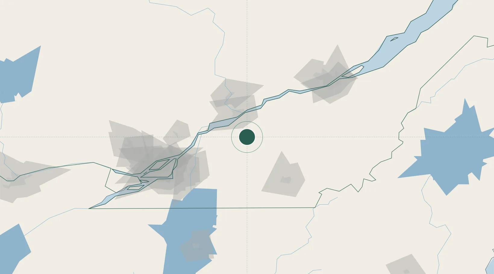
Hub Profile
Region
QC
Location
Nearby Logistics Neighbours
Cities
- 1Notre-Dame-du-Bon-Conseil9 km
- 2Saint-Célestin21 km
- 3Saint-Germain-de-Grantham22 km
- 4Saint-François-du-Lac29 km
- 5Saint-Félix-de-Kingsey33 km
Ports
- 1Trois Rivieres38 km
- 2Port De Becancour43 km
- 3Sorel50 km
- 4Contrecour59 km
- 5Montreal101 km
Airports
Trade Zones
- 1Greater Montreal Free Zone Center102 km
- 2Québec City FTZ130 km
- 3FTZ No. 186 Waterville271 km
- 4FTZ No. 263 Auburn278 km
- 5FTZ No. 118 Ogdensburg279 km
DatabookThe Record of Consolidated Knowledge
Canada beyond logistics?