Transport Functions
Road
Multimodal
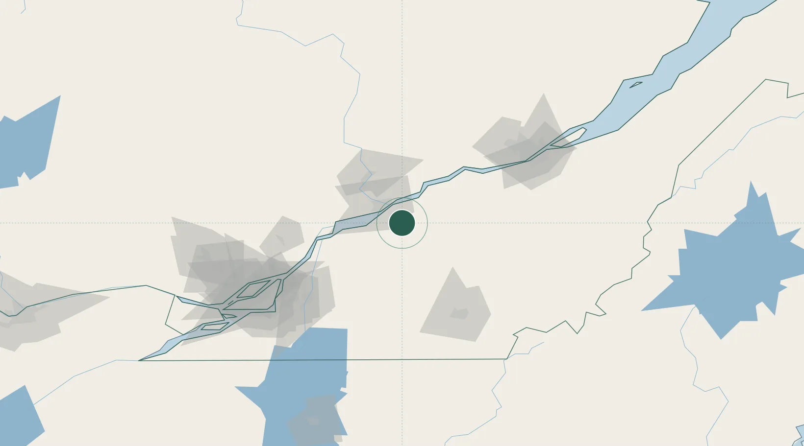
Hub Profile
Place type
Populated place
Region
Quebec
Time zone
America/Toronto
Elevation
56 m
Location
Nearby Logistics Neighbours
Cities
- 1Bécancour15 km
- 2Sainte-Brigitte-des-Saults21 km
- 3Daveluyville22 km
- 4Notre-Dame-du-Bon-Conseil23 km
- 5Yamachiche33 km
Ports
- 1Trois Rivieres20 km
- 2Port De Becancour22 km
- 3Sorel57 km
- 4Contrecour70 km
- 5Quebec115 km
Airports
Trade Zones
- 1Québec City FTZ113 km
- 2Greater Montreal Free Zone Center117 km
- 3FTZ No. 186 Waterville281 km
- 4FTZ No. 263 Auburn291 km
- 5FTZ No. 118 Ogdensburg293 km
DatabookThe Record of Consolidated Knowledge
Canada beyond logistics?