Transport Functions
Port
Road
Hub Profile
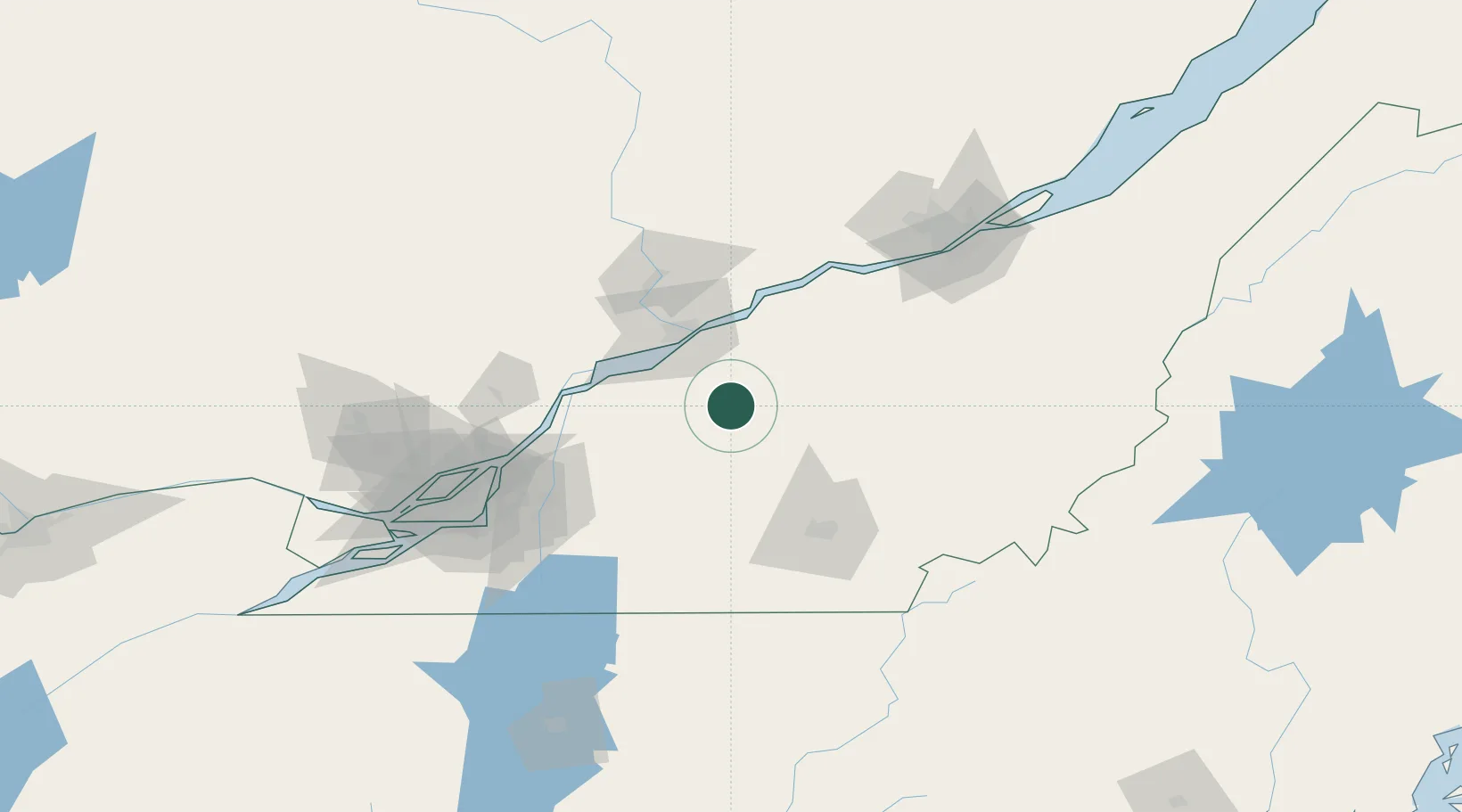
Place type
Populated place
Region
Quebec
Time zone
America/Toronto
Elevation
82 m
Location
Nearby Logistics Neighbours
Cities
- 1Sainte-Brigitte-des-Saults9 km
- 2Saint-Célestin23 km
- 3Saint-Germain-de-Grantham25 km
- 4Saint-Félix-de-Kingsey26 km
- 5Daveluyville28 km
Ports
- 1Trois Rivieres42 km
- 2Port De Becancour45 km
- 3Sorel60 km
- 4Contrecour67 km
- 5Montreal108 km
Airports
Trade Zones
- 1Greater Montreal Free Zone Center109 km
- 2Québec City FTZ125 km
- 3FTZ No. 186 Waterville263 km
- 4FTZ No. 263 Auburn271 km
- 5FTZ No. 118 Ogdensburg286 km
DatabookThe Record of Consolidated Knowledge
Canada beyond logistics?