UN/LOCODE hub · Canada
CASGN

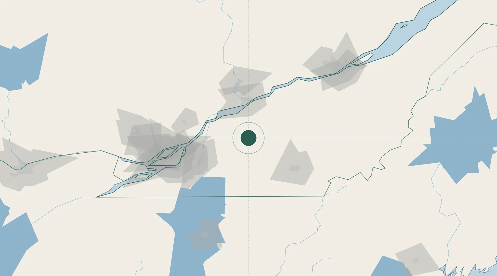
Saint-Germain-de-Grantham

45.8333°, -72.5667°
3,485
Population
2
Transport functions

Transport Functions

Rail
Road
UN/LOCODE

Hub Profile

Place type
Populated place
GeoNames
Region
Quebec
GeoNames
Population
3,485
GeoNames
Time zone
America/Toronto
GeoNames
Elevation
86 m
GeoNames

Location

Location of CASGN
Natural Earth 10m (public domain) · Quebec · CASGN · 45.83, -72.57GoogleOSMYandex

Nearby Logistics Neighbours

Cities
  1. 1Sainte-Brigitte-des-Saults22 km
  2. 2Upton24 km
  3. 3Roxton Falls25 km
  4. 4Notre-Dame-du-Bon-Conseil25 km
  5. 5Acton Vale26 km
Nearest neighbours — logibook spatial index (haversine) over the source coordinates
Ports
  1. 1Sorel49 km
  2. 2Contrecour49 km
  3. 3Trois Rivieres58 km
  4. 4Port De Becancour65 km
  5. 5Montreal84 km
Nearest neighbours — logibook spatial index (haversine) over the source coordinates
Airports
  1. 1Trois-Rivières Airport58 km
  2. 2Bromont (Roland Désourdy) Airport62 km
  3. 3Montréal / Saint-Hubert Metropolitan Airport75 km
  4. 4Sherbrooke Airport81 km
  5. 5St Jean Airport82 km
Nearest neighbours — logibook spatial index (haversine) over the source coordinates
Trade Zones
  1. 1Greater Montreal Free Zone Center85 km
  2. 2Québec City FTZ150 km
  3. 3FTZ No. 118 Ogdensburg262 km
  4. 4FTZ No. 186 Waterville267 km
  5. 5FTZ No. 263 Auburn268 km
Nearest neighbours — logibook spatial index (haversine) over the source coordinates
DatabookThe Record of Consolidated Knowledge
Canada beyond logistics?
Browse databook

All Sources

LocationsUN/LOCODE
UN/LOCODE — free
LocationsGeoNames
CC BY 4.0
Portsthe NGA World Port Index
Public domain (US gov)
AirportsOurAirports
Public domain
Trade Zonesthe World Bank SEZ database
CC BY 4.0
Trade ZonesOpen Zone Map
CC BY
← Canada locations