Transport Functions
Port
Hub Profile
Place type
Populated place
Region
Quebec
Population
3,961
Time zone
America/Blanc-Sablon
Elevation
7 m
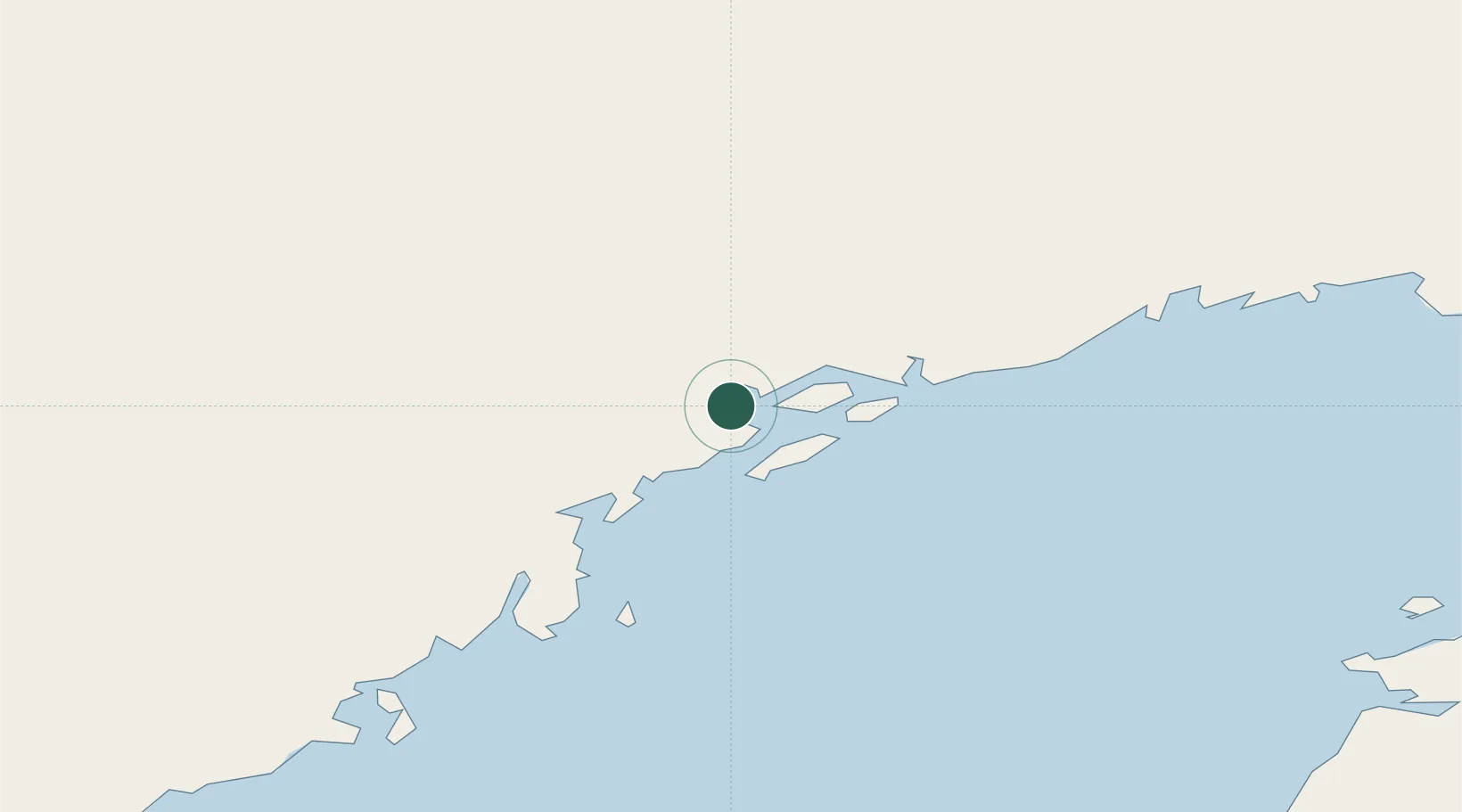
Location
Nearby Logistics Neighbours
Cities
- 1L'Anse-au-Loup130 km
- 2Daniels Harbour134 km
- 3Cow Head160 km
- 4Red Bay164 km
- 5Roddickton182 km
Ports
- 1Blanc Sablon107 km
- 2Roddickton181 km
- 3St Anthony215 km
- 4Baie Verte227 km
- 5Corner Brook259 km
Airports
- 1St Augustin Airport3 km
- 2La Tabatière Airport50 km
- 3Tête-à-la-Baleine Airport81 km
- 4Lourdes-de-Blanc-Sablon Airport104 km
- 5Chevery Airport110 km
Trade Zones
- 1Crossroads Business Park386 km
- 2Cape Breton Regional Municipality Foreign Trade Zone584 km
- 3Halifax Gateway819 km
- 4FTZ No. 179 Madawaska828 km
- 5Saint John860 km
DatabookThe Record of Consolidated Knowledge
Canada beyond logistics?